Lake Hill (Chocolate Drops) – Death Valley National Park
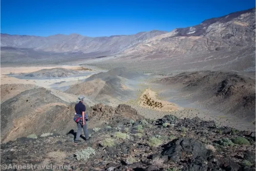
Take an off-trail route up a hill to views of the Panamint Valley. During wet weather, the hill may be surrounded by a lake. Total Distance: 2.9 miles out & back Elevation Gain: 793ft. (1,548ft. to 2,027ft.) Difficulty: 0-5 Mile Difficulty: View Rating: Author’s Rating: Visitor Rating: Visitor Difficulty Rating: Pets: No Horses: Yes Best […]