CA-190: Stovepipe Wells to US-395 (Western Border) – Death Valley National Park
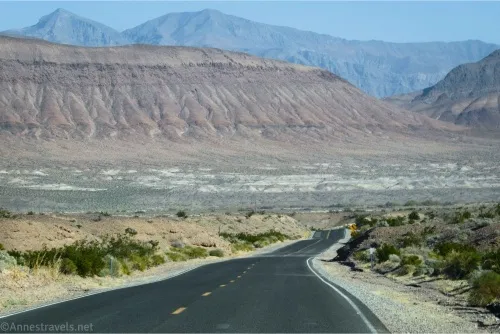
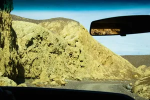
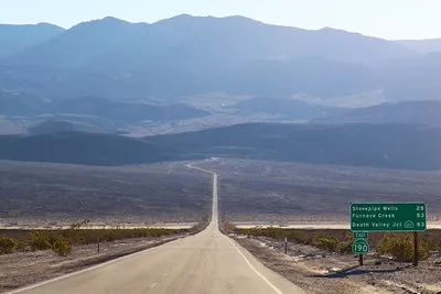
The main road through the western part of Death Valley National Park – from Stovepipe Wells (almost) to US-395. This guide begins where CA-190: Furnace Creek to Stovepipe Wells leaves off. Total Distance: 75.8 miles point to point Elevation Gain: 9,228ft. up, 5550ft. Down (-13ft. to 5,258ft.) Road Difficulty: 0.6 Bicycle Difficulty: Easy View Rating: […]