Historic Stovepipe Well Road – Death Valley National Park
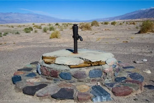
Visit an old watering hole that was critical to both the indigenous population and miners and explorers who came to Death Valley. Total Distance: 0.75 miles point to point (dead end) + 0.1 miles out & back on foot Elevation Gain: 18ft. up, 137ft. down (70ft. to -58ft.) Road Difficulty: 1.2 Bicycle Difficulty: Easy View […]