Dirt Road: Harry Wade Road – Death Valley National Park
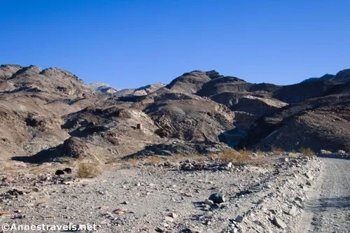
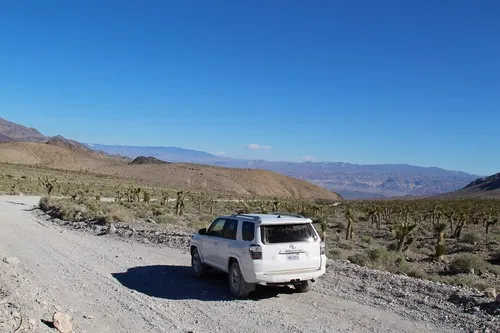
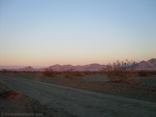
High-clearance road that gives access to the history of southern Death Valley. High clearance is required most of the year, but 4×4 is required or the road may be impassable when the Amargosa River is flowing. Total Distance: 25.75 miles point-to-point Elevation Gain: 858ft. gain, 614ft. loss N to S Road Difficulty: 1.5 (high clearance […]