The Cauldron – Death Valley National Park
Explore a circular area of badlands filled with small slots, rock formations, and more to discover near Fall Canyon.
| Total Distance: 4.7 mile lollipop loop with spurs | Elevation Gain: 1,345ft. (923ft. to 1,221ft.) |
| Difficulty: Moderately Strenuous | 0-5 Mile Difficulty: Very Strenuous |
| View Rating: 4.0 out of 5.0 stars | Author’s Rating: 5.0 out of 5.0 stars |
| Visitor Rating: (Click to rate) [Total: 0 Average: 0] | Visitor Difficulty Rating: (Click to rate) [Total: 0 Average: 0] |
| Pets: No | Horses: Yes |
| Best Seasons: November-April | Special Permits: None |
| Water Availability: None | Overnight Options: Dispersed camping permitted at least 1 mile from Fall Canyon |
| Trailhead Amenities: Primitive restroom | Crowd Factor: Solitude |
| Trailhead Access: 1.2 Graded gravel road; suitable for low-clearance vehicles | |
| Uses: | Trail Surface: |
| Features: | Hazards: |
Mile-by-Mile: The Cauldron
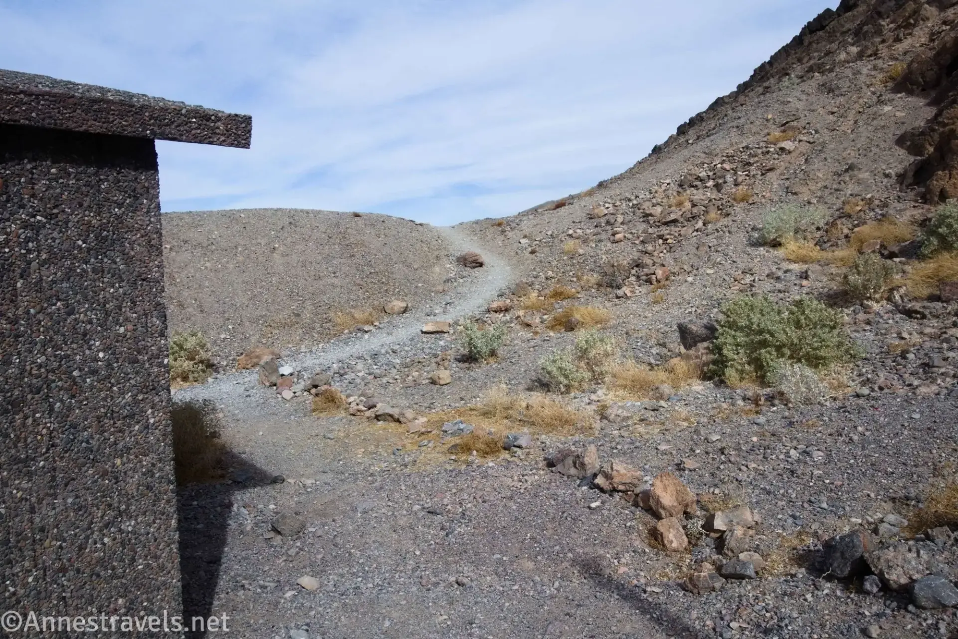
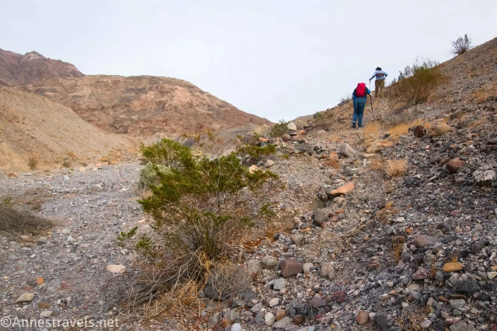
0.0 Fall Canyon Trailhead (933ft.). The trailhead is located behind the primitive restroom. Follow the route to Fall Canyon; the path begins by rolling along the hillside, then drops into a wash. The old trail continues up the wash, while the new trail turns to cross over another hill and drop into the Fall Canyon Wash further upstream. This and a few social trails will all land you generally in the right place, so don’t worry about taking the exact right trail as long as it’s heading for the Fall Canyon Wash (generally north or northwest). (36.8221167°, -117.1740667°)
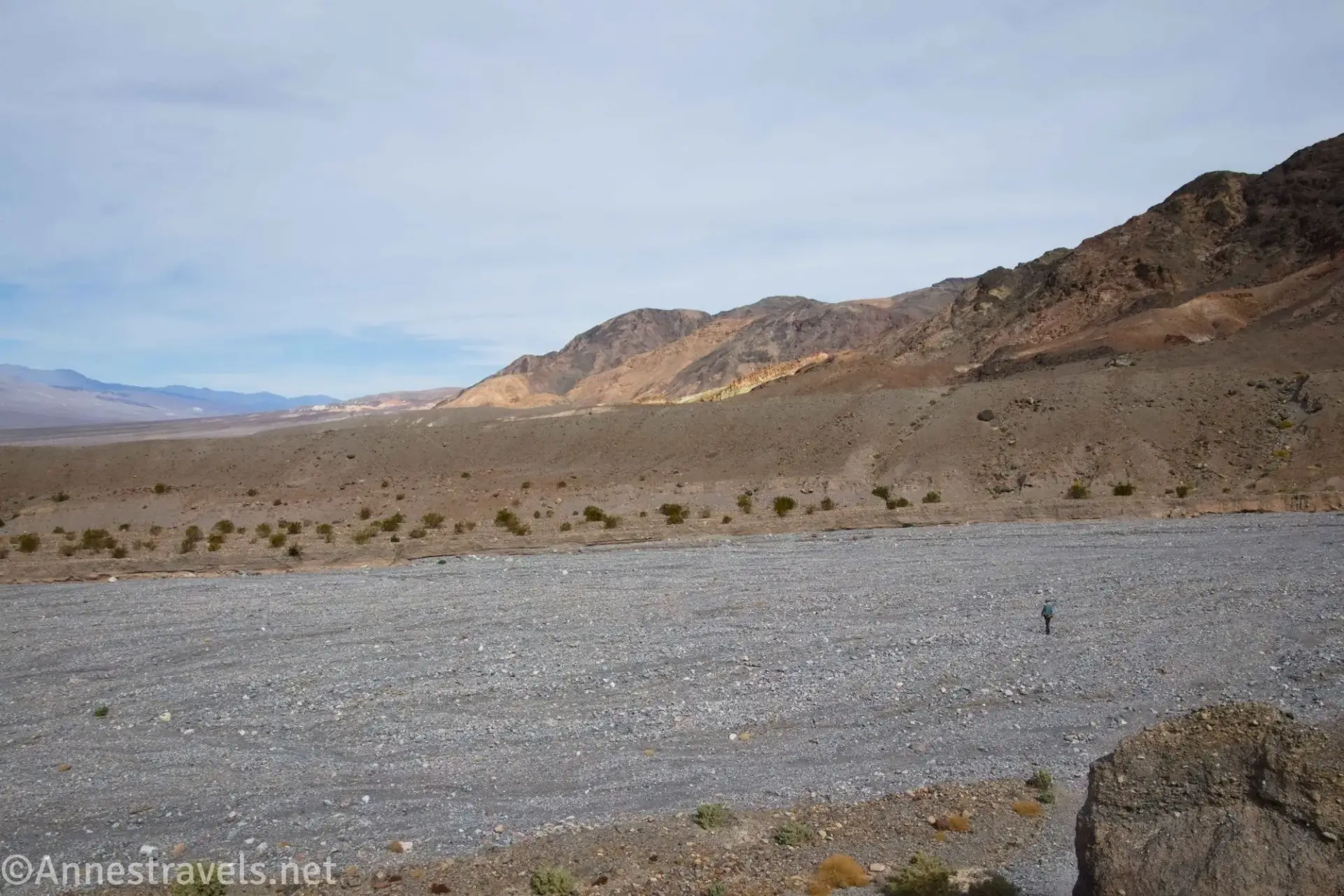
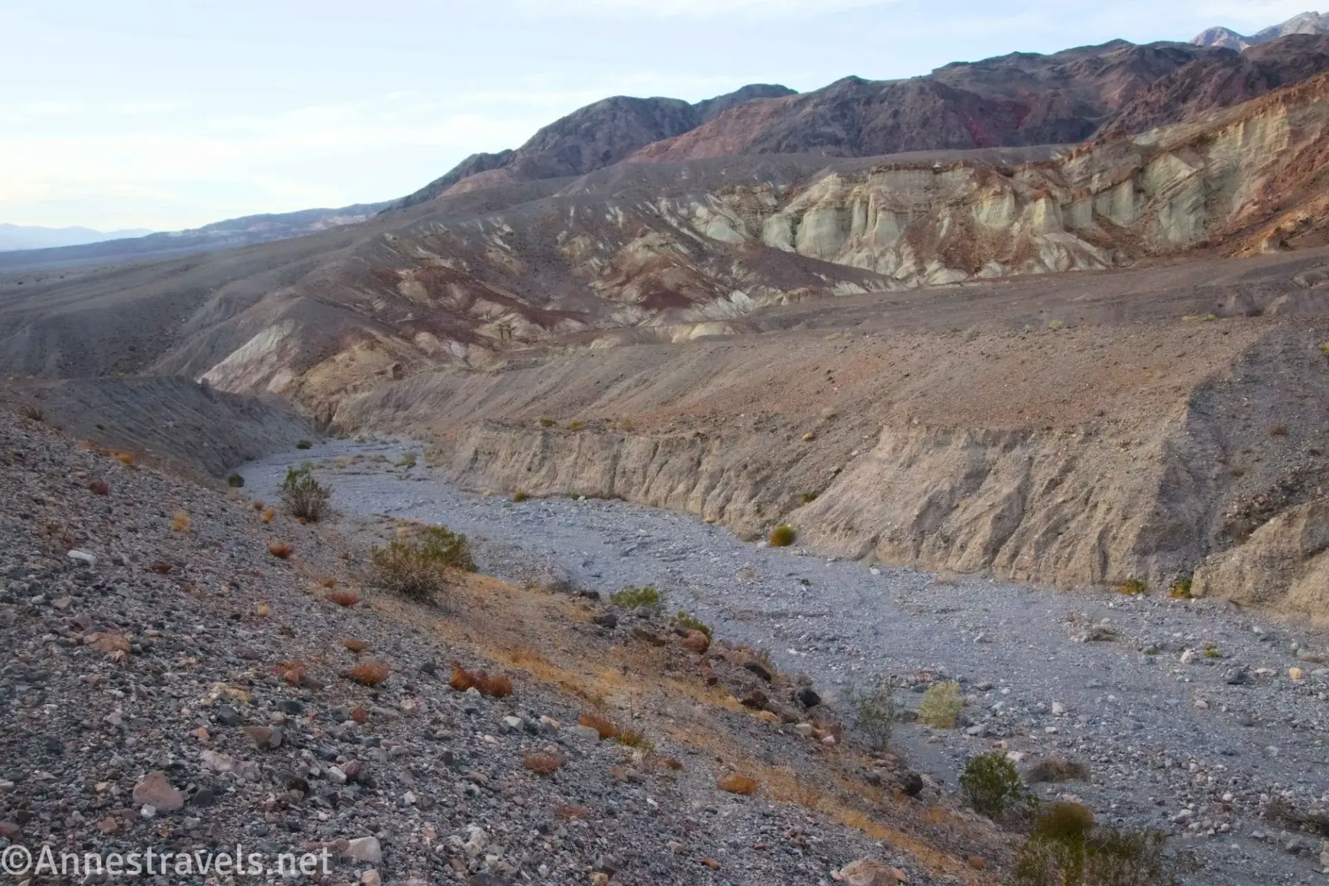
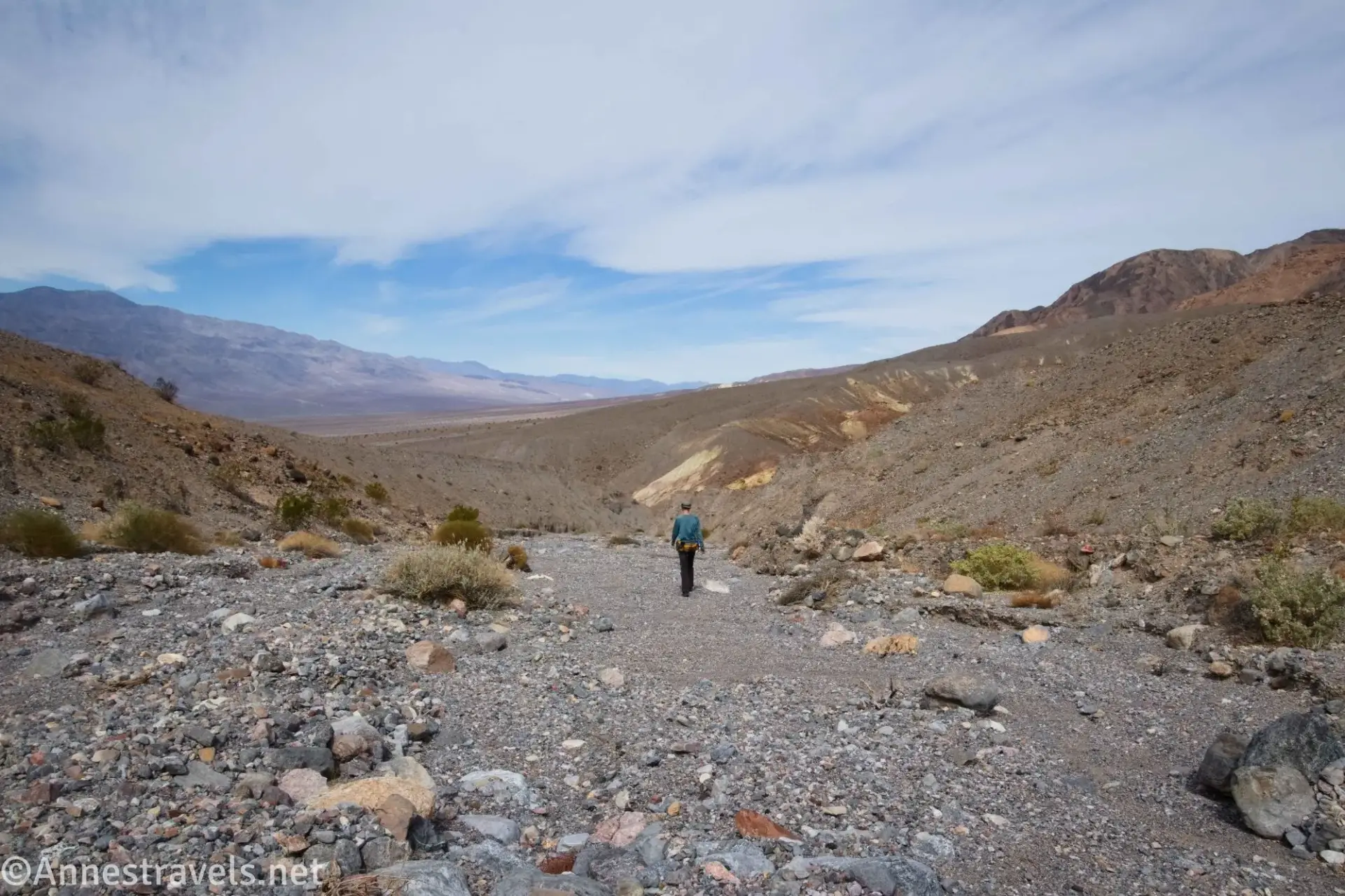
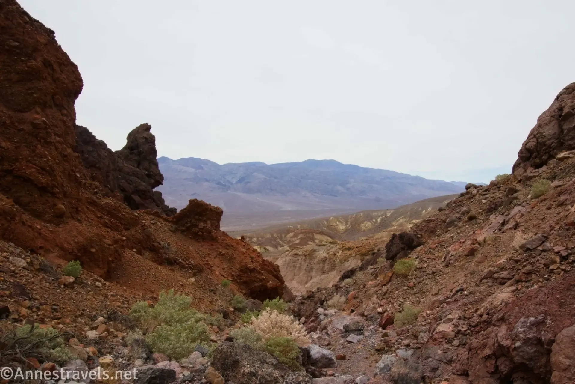
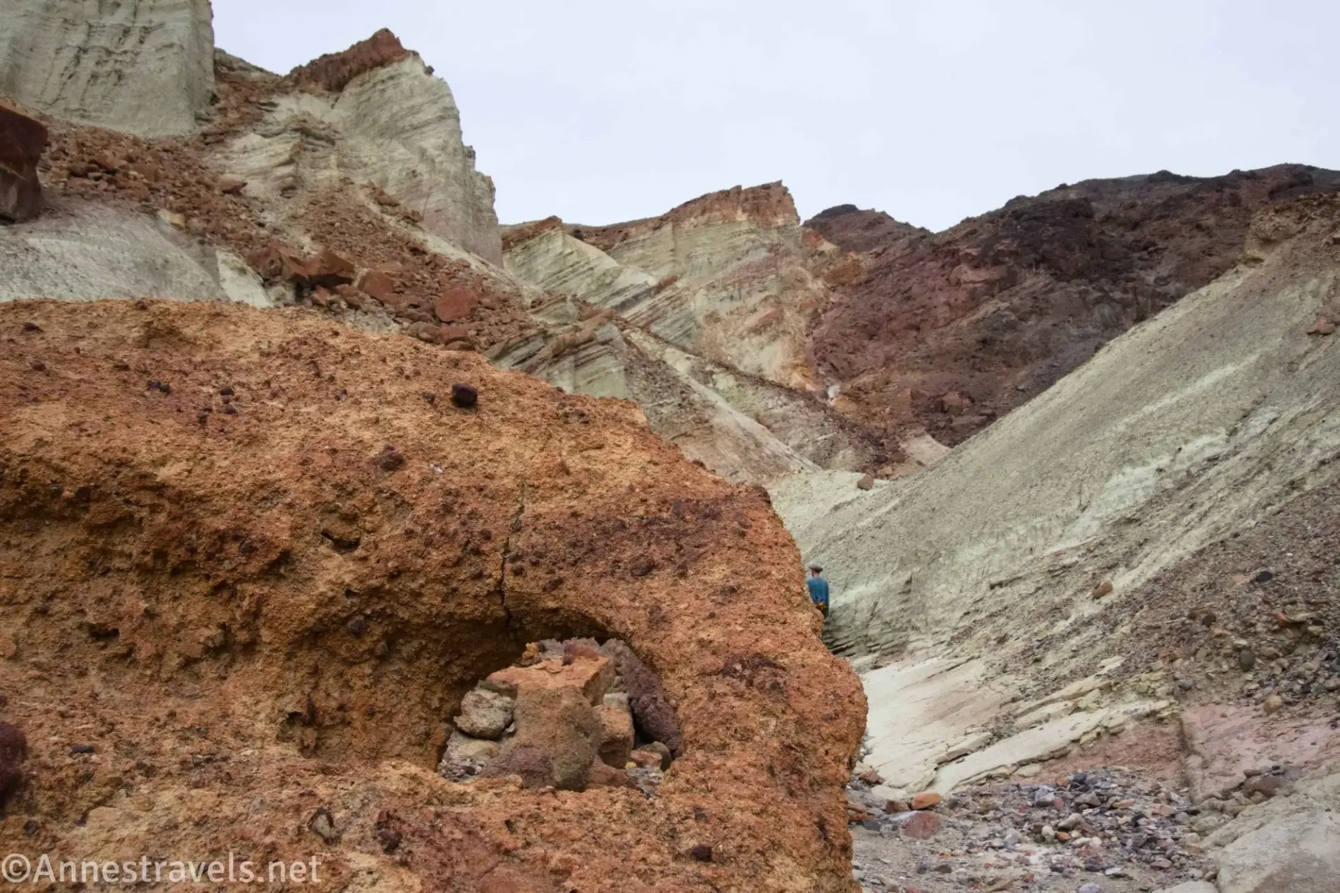
0.7 Fall Canyon Wash (1,188ft.). Drop into the wash. Instead of turning right, upcanyon, which would take you up Fall Canyon, cross the wash. Try to find a use trail up the hill on the other side (you may want to go downstream a bit to find a slightly lower bank to the wash before climbing the hill). From the top of the hill, enjoy the views over the southern Cauldron before following a possibly lightly cairned trail to the left that will eventually drop you down into the next gully (approx. 36.832560°, -117.181729° and 1.1 miles). Turn left down the gully. This section isn’t terribly interesting, though you get some views into the northern part of the Cauldron. Enter some narrows about mile 1.25. (36.8304700°, -117.1743650°)
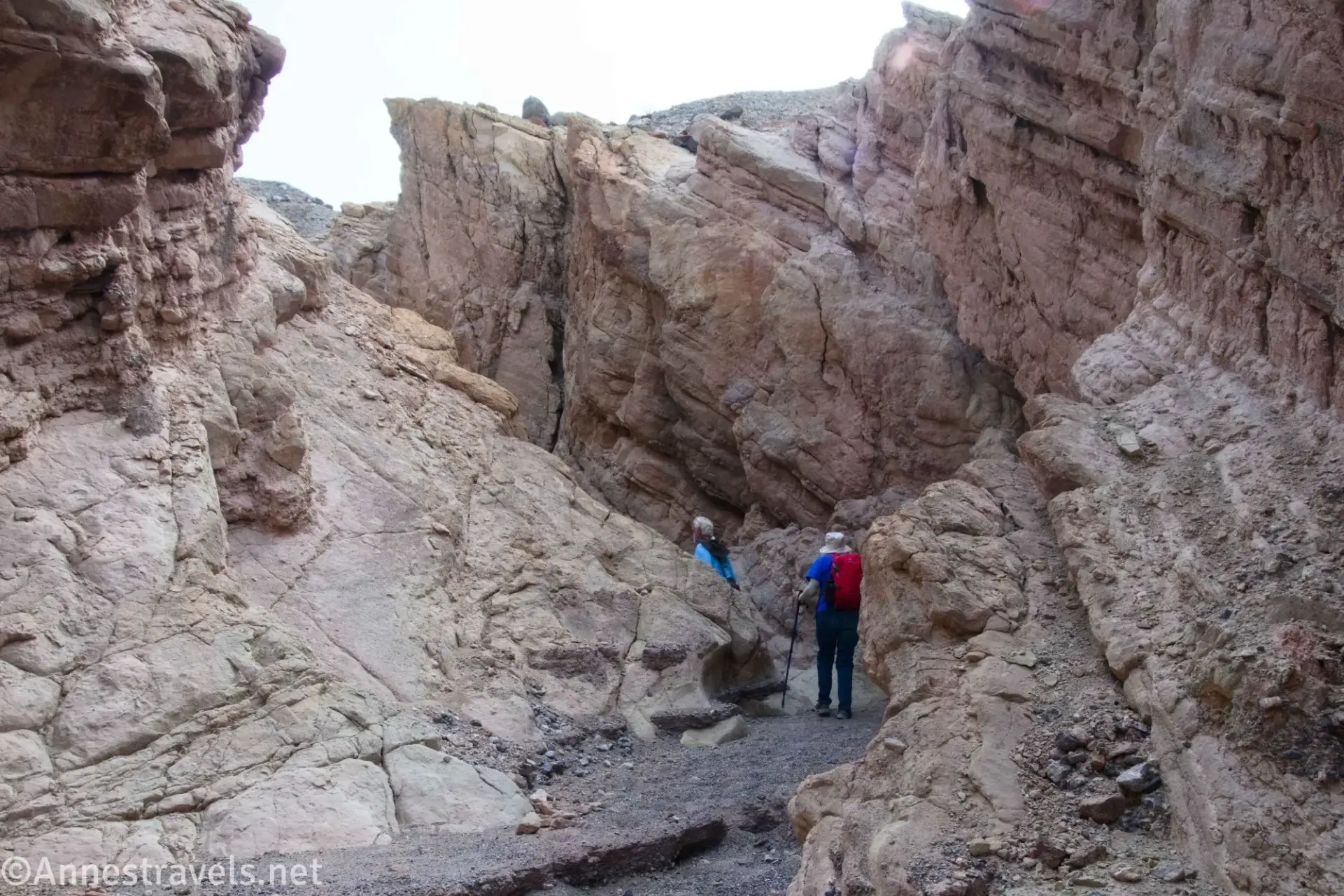
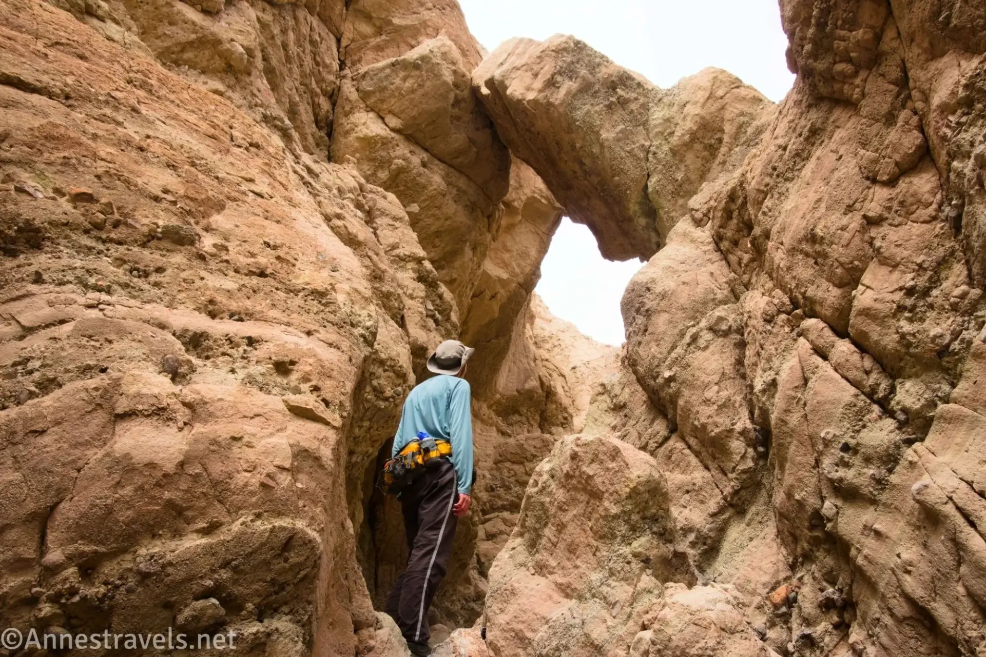
1.3 Badlands Bridge Junction (951ft.). Pass through the bridge and then exit the gully and enter the main wash of The Cauldron. To explore The Cauldron, turn right up the canyon for a few paces. (36.834091°, -117.183415°)
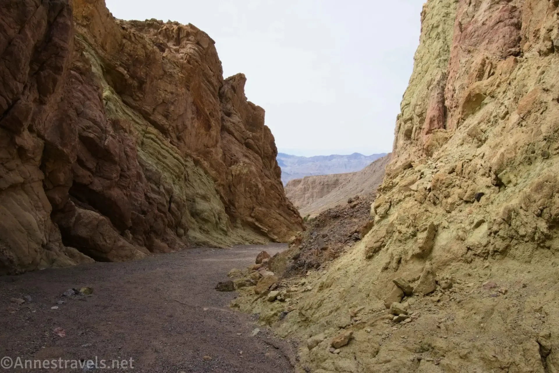
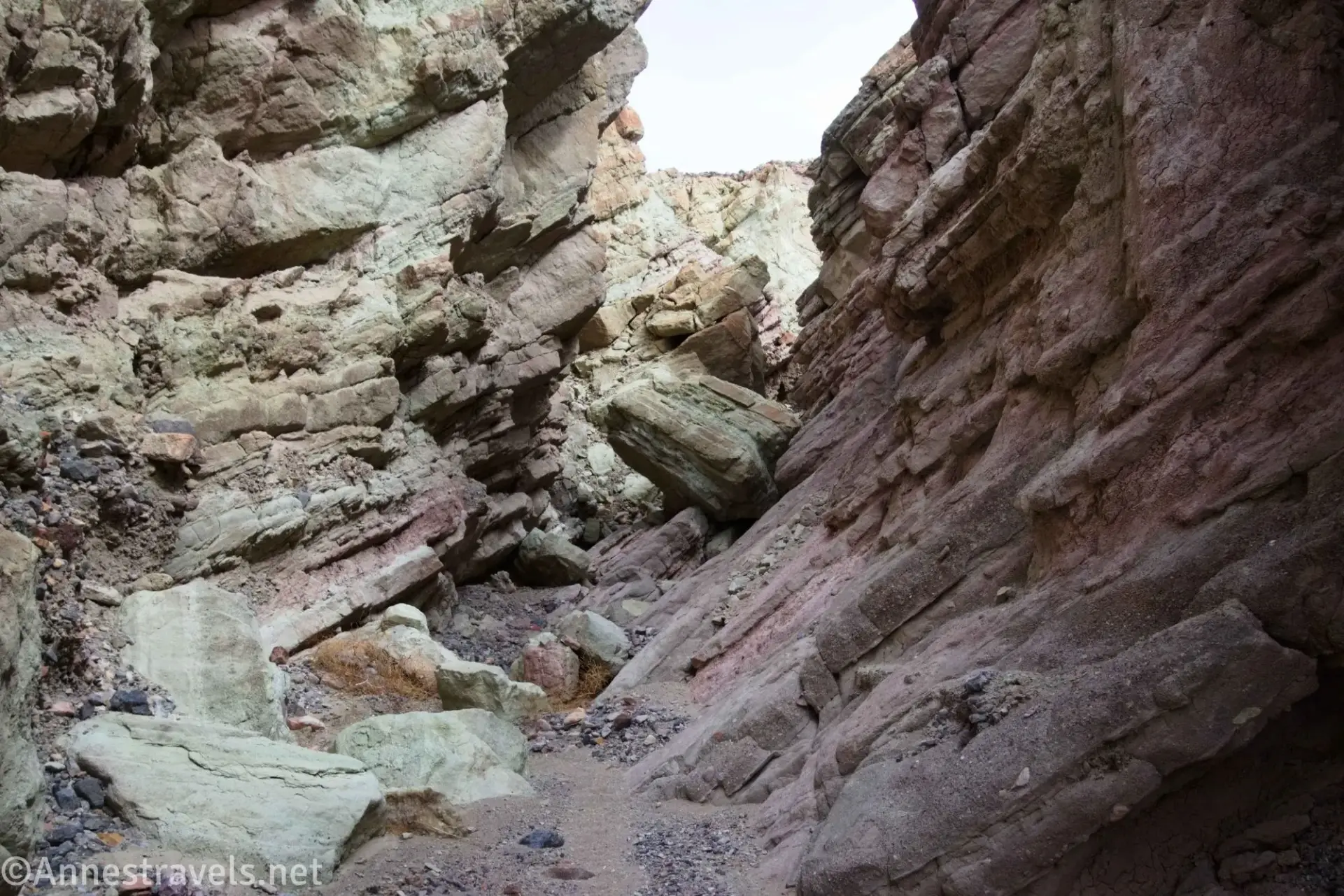
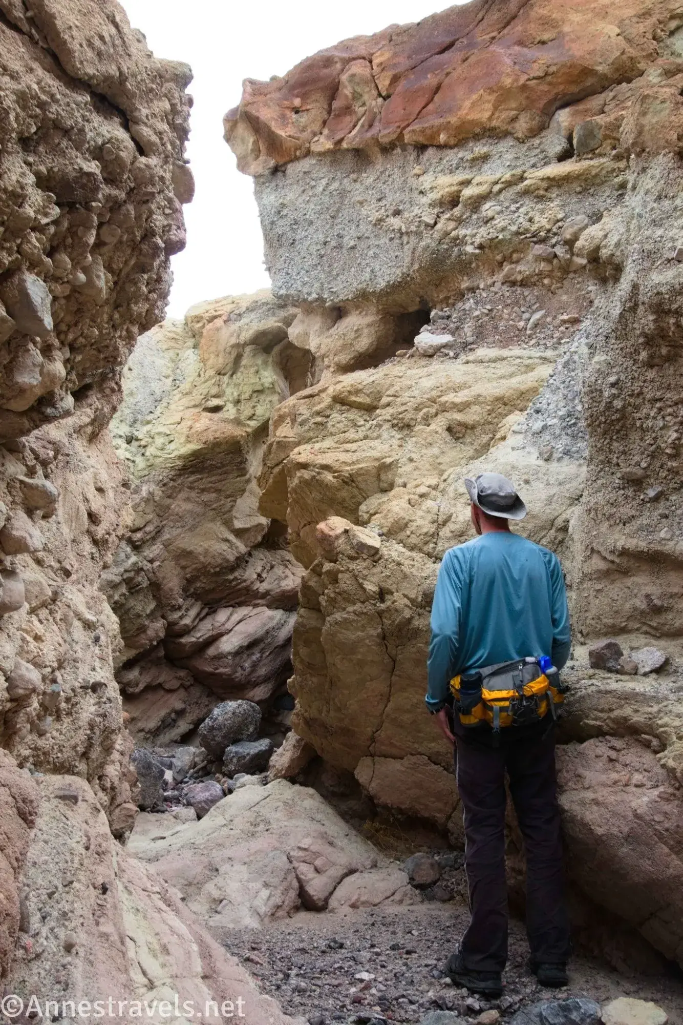
1.31 Mouth of Chaos Canyon on left (959ft.). If you want, you can turn left up the sidecanyon, named for the wild shapes and designs in the rocks and canyon walls, many of which are set at an angle. You’re welcome to walk up this fork as far as you want. After exploring, return down to the main canyon. This guide chooses not to explore Chaos Canyon at this point, as we’ll be coming back this way later (Chaos Canyon is a much easier shortcut to Bryce Fork and Pinnacles Fork if you don’t want to explore the entire Cauldron). Continuing up the main canyon, the walls narrow and grow higher before opening up again. (36.8342850°, -117.1833780°).
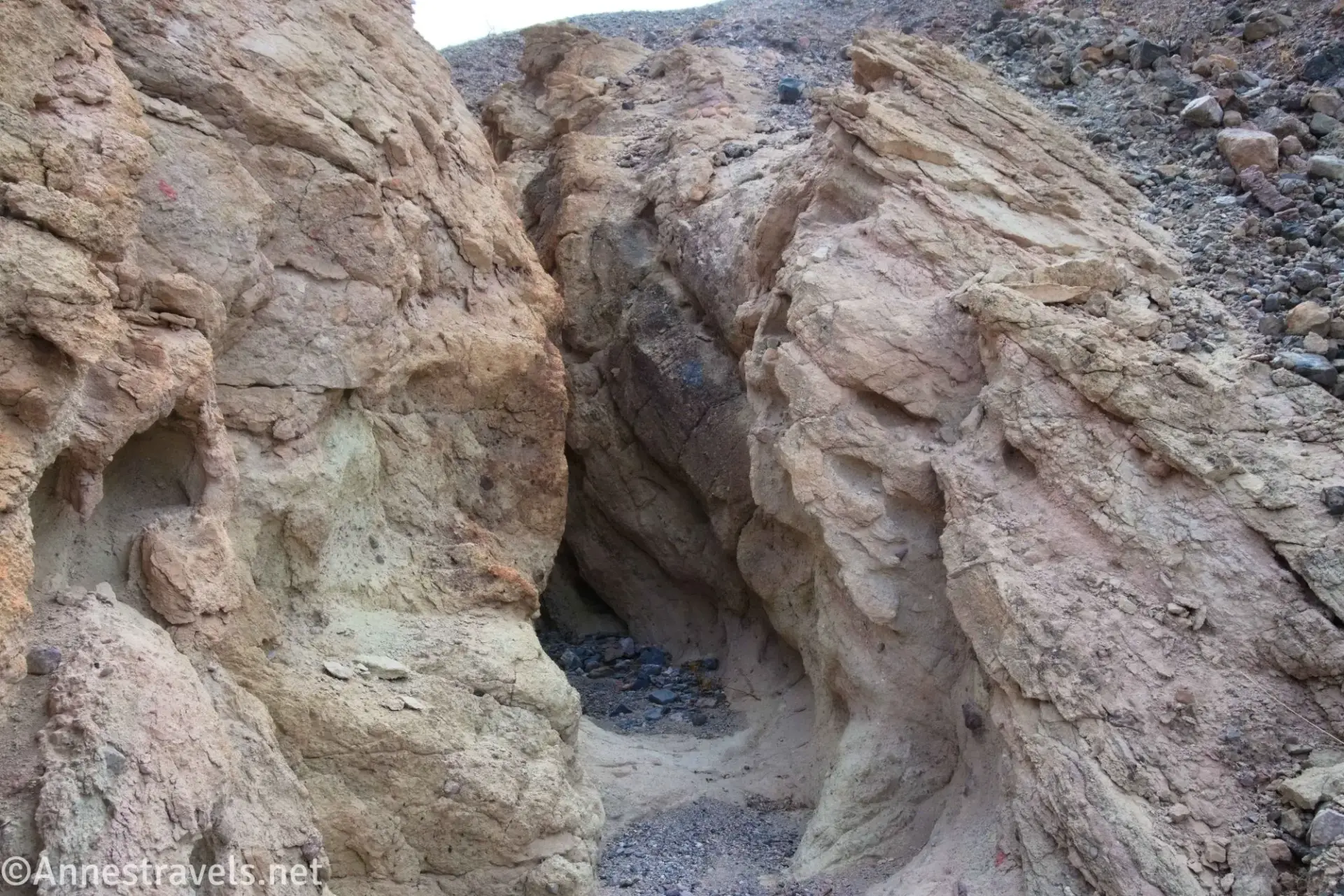
1.4 Mouth of Tight Slot Fork on right (974ft.). Take the right fork here to head up to the very narrow part of Tight Slot Fork. After making your way through the narrow section (about 0.05 miles to about 36.834083°, -117.180966°), return to the main canyon and continue up and then through some dramatic narrows. (36.834360°, -117.181500°)
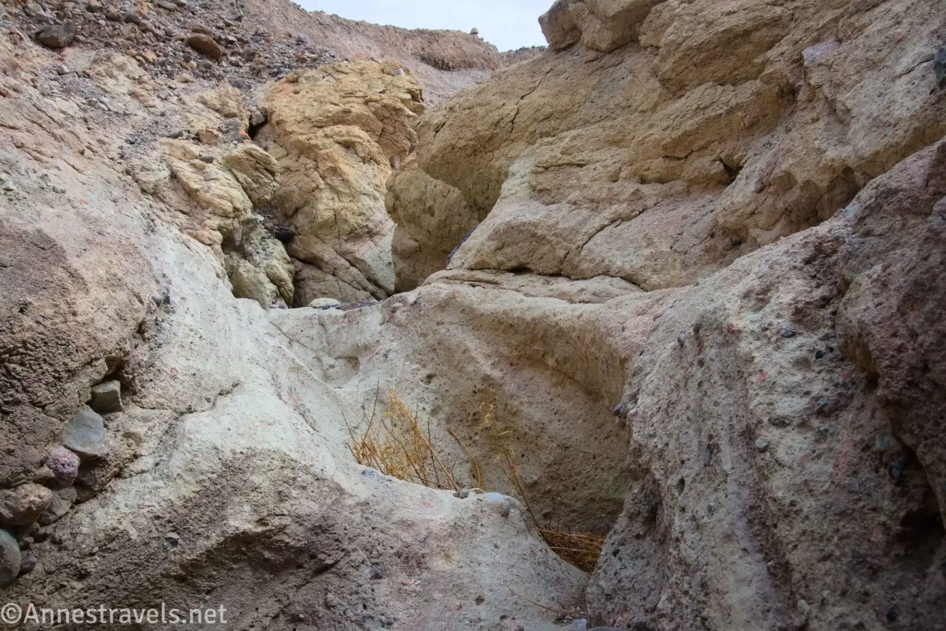
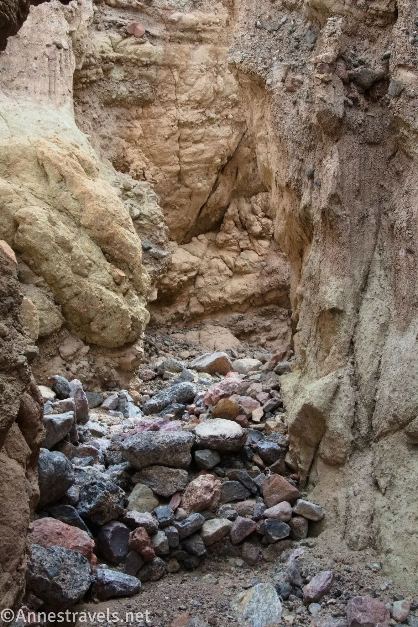
1.6 Mouth of Best Slot Fork on right (1,008ft.). Just before the main canyon widens, turn right up into Best Slot Fork. As the name suggests, this is a great slot canyon, and this guide goes all the way to its end (at the very least, make sure to walk through two sets of narrows before turning around – the upper canyon is wide and not quite as exciting, though it does have great views). The narrows of the slot canyon require some Class 2+ scrambling and occasionally climbing under boulders that are wedged in the narrow space. The second narrows end after about a tenth of a mile (approx. 36.834139°, -117.179049°), but you can continue up to the end of the canyon (approx. 36.834193°,-117.176104° a quarter mile above the last narrows – the mileages here reflect going up to the end of the canyon). Return back down Best Slot Fork and turn right up the main canyon as it widens again. (36.834494°, -117.180317°)
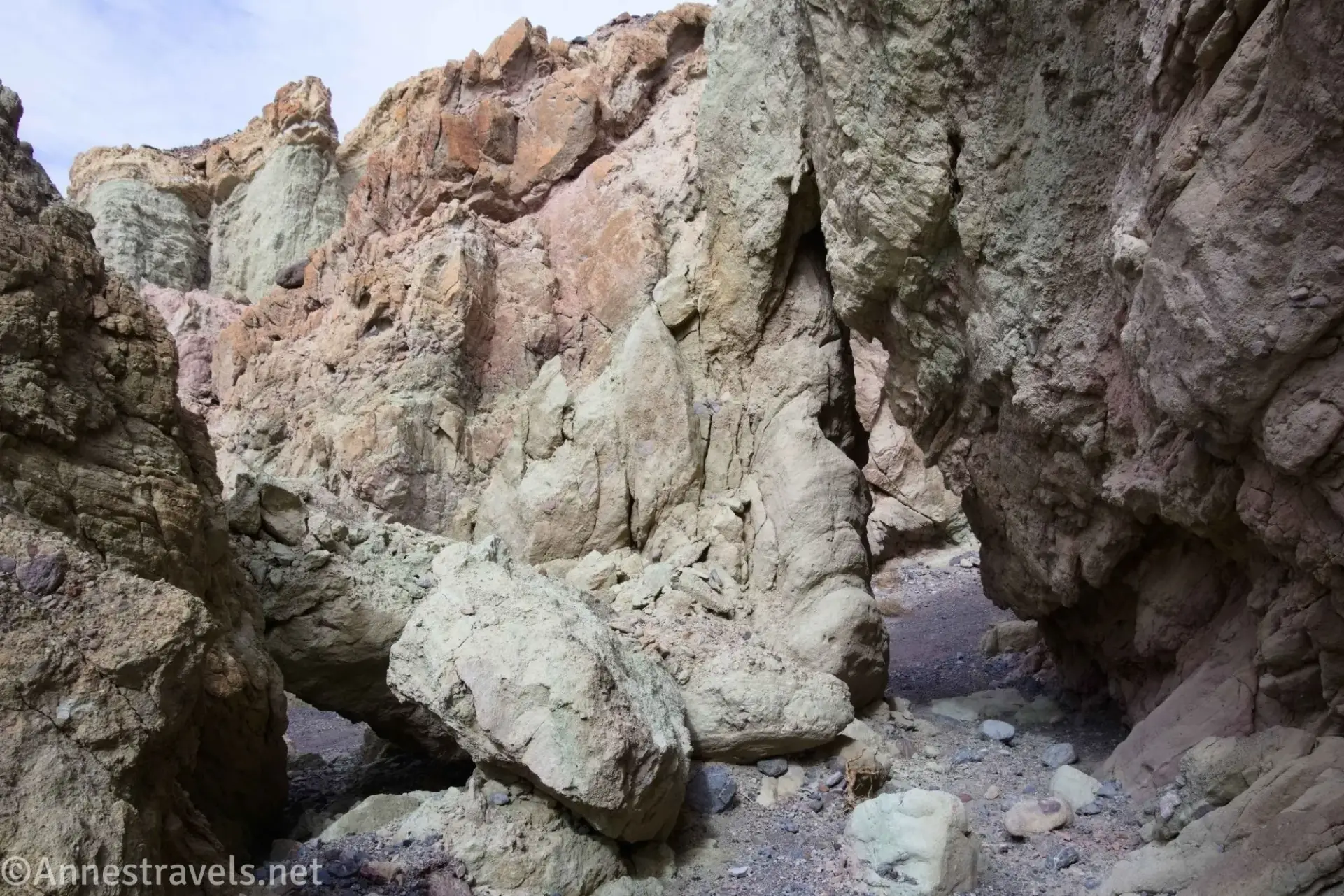
2.25 Enter False Bridges Fork (1,025ft.). This is really just part of the main canyon. After a few paces, pass underneath one of the “false” natural bridges (actually a boulder or part of the canyon wall that collapsed and fell in such a way to straddle the canyon). Just beyond this is a likely impassible dryfall (approx. 36.835286°, -117.179841°) with another “false” natural bridge just above it (I did get up the dryfall; the canyon ends fairly quickly in a kind of grotto). Retrace your steps downcanyon and out of the narrows. (36.834998°, -117.179736°)
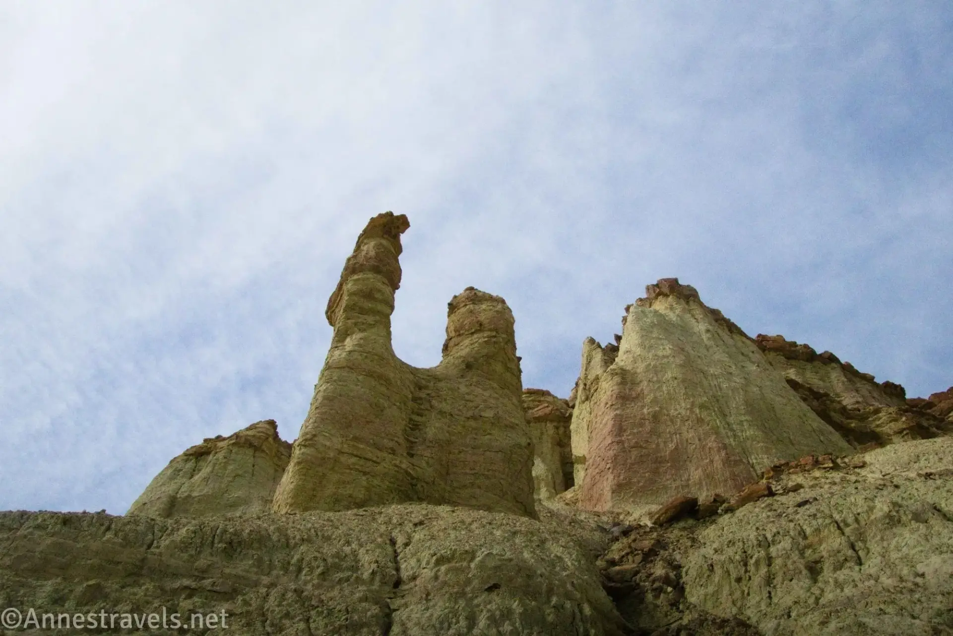
2.3 Begin up to plateau (1,010ft.). Shortly after exiting the narrows of False Bridges Fork, turn right (north) up and out of the main canyon (the turn is after the canyon turns to go southwest instead of almost due south but well before you reach the narrows near Best Fork Slot). Scramble up to the plateau and walk across it with the main canyon (False Bridges Fork) on your right. Views will begin to be very good of some unique (for Death Valley) rock formations to the north – they remind me a bit of the Bisti Badlands in New Mexico. About mile 2.6, continue north to descend into an unnamed east-west running gully. (36.834812°, -117.179831°)
2.4 Drop into gully (1,109ft.). Turn left (west) to descend the gully into a second main canyon (actually, this is a continuation of Chaos Fork, which you saw on your left shortly after entering the Main Canyon for the first time). Along the way to the second main canyon (which I’ll call Chaos Canyon for clarity’s sake), enjoy views to the north of what you’ll be seeing in a few minutes. (36.836900°, -117.179859°)
2.6 End of gully/enter Upper Chaos Canyon (998ft.). Turn right to walk upcanyon. The scenery here is very different than what you’ve seen before on this hike. A short distance beyond this turn (approx. 36.837331°, -117.182514°), Pinnacle Fork goes off on the left – we’ll get back to that in a minute. For now, take the right fork closer and closer to the unique rock-topped cliffs and rock formations to the north/northeast. The canyon will eventually end in a jumble of rocks. (36.836928°, -117.182646°)
2.8 End of Chaos Canyon in Bryce Fork (1,080ft.). Previous hikers call this “Bryce Fork” for the similarities of the surrounding cliffs to Bryce Canyon in Utah. I see more similarity to Grand Staircase-Escalante National Monument, but the monument and Bryce are close to one another, so we’ll let the name be. The canyon ends ringed by these cliffs. Retrace your steps down to where Pinnacle Fork goes off on the right (west). (36.8385060°, -117.1812130°)
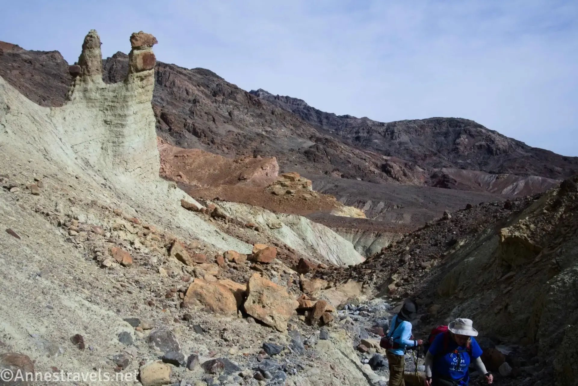
3.1 Mouth of Pinnacles Fork (1,011ft.). Turn right (northwest) up the fork. There are several small hoodoos (pinnacles) with rocks balancing on top, similar to the Toadstools in Grand Staircase-Escalante National Monument in Utah. Hike only as far as you’d like (the wash becomes very steep) before retracing your steps to the main Chaos Canyon (this guide goes up Pinnacles Fork about 0.1 miles or to approx. 36.837960°, -117.183213°). Once back in Chaos Canyon, walk down the canyon until you enter the lower narrows (about mile 3.25, approx. 36.835203°, -117.183471°) and finally end up at the mouth of Chaos Canyon where it enters the main canyon (congratulations, you’ve just gone in a very large circle!). (36.837331°, -117.182514°)
3.35 Mouth of Chaos Canyon (965ft.). Turn right (south) a short distance back down to the Badlands Bridge Junction (36.834091°, -117.183415°). Turn left (south) up through the narrows, up the gully, turn right up the hill about mile 3.5 (approx. 36.832560°, -117.181729°), and, once on top of the hills, walk east and south following a lightly cairned trail (if it exists) to drop back into the wash just below Fall Canyon. Cross the wash, pick up the Fall Canyon Trail, and walk back to the parking area. (36.8342850°, -117.1833780°).
4.7 Fall Canyon Trailhead (933ft.). (36.8221167°, -117.1740667°)
History & More
Any trails that you encounter after leaving Fall Canyon are made either by previous hikers or – more likely – by bighorn sheep. Use care to leave no trace of your explorations.
In general, the hiking in this area is tedious but not terrible. Some scrambling is required in a few of the slots, but you can always turn around if you don’t want to continue up the scrambles.
Route-finding to and in the Cauldron is useful, but unlike many off-trail hikes in Death Valley, a GPS isn’t absolutely necessary – except that you might need one to find your way back!
None of the features in the Cauldron are officially named. I’m mostly using the terminology coined by Steve Hall of panamintcity.com. Even the National Park Service calls this area “Badlands” and not the much more exciting “The Cauldron,” which refers to the area’s bowl-like quality filled with interesting features.
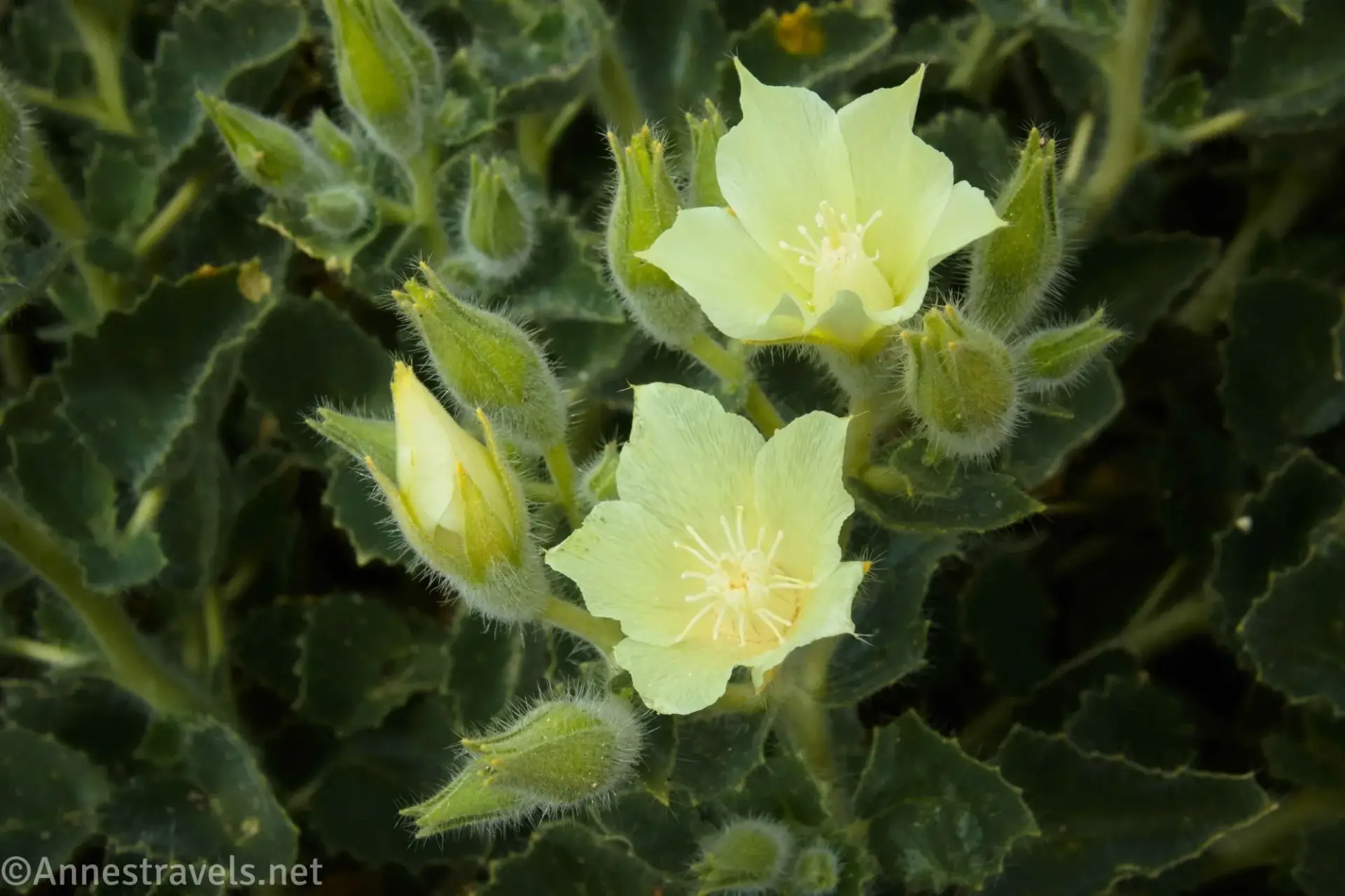
Be wary of desert rock nettle, which looks so pretty but has furry leaves that will stick badly to your clothing and prickle your fingers if touched.
I’ve intentionally left out some of the features you’ll find along the way – this is an adventure, and I wouldn’t want to give too many spoilers!
Download Route Map
Coming soon!
Driving Directions
Take Scotty’s Castle Road to the exit of the Titus Canyon Road (14.9 miles north of CA-190 and 18.3 miles south of the Grapevine Ranger Station). Turn east on the gravel Titus Canyon Road for 2.6 miles to the Titus Canyon Trailhead and Fall Canyon Trailhead parking.
Camping in a canyon is discouraged due to the danger of flash floods.
Remember, it may be easier to climb up dryfalls than down them (or vice versa). Be sure you can climb in the other direction before climbing up or down a dryfall.
Camping is not allowed within one mile of a paved road, developed area, or dirt road that is closed to camping.
Camping is not permitted within 100 feet of a flowing stream, spring, or other natural body of open water.
No camping is permitted on the floor of Death Valley, within one mile of Darwin Falls and Greenwater Canyon, on the active/shifting sand dunes, and certain other canyons and backcountry areas.
Camping is also prohibited within one mile of the Ubehebe Lead Mine, Leadfield Mines, Keane Wonder Mill, and Skidoo Mill.
Camping is limited to 30 days per calendar year within the park.
Fires are permitted in NPS-provided fire grates or grills ONLY.
Leave No Trace Principles are enforced
Drones and model aircrafts are prohibited
Camping is permitted only in designated sites or in areas open to dispersed backcountry camping
All park rules and regulations
12 Month Pass: $55/Death Valley Annual Pass (valid at Death Valley National Park). $80/America the Beautiful Annual Pass (valid at all national park and federal fee areas). $20/Annual Senior Pass (62 years or older US citizens; valid at all national park and federal fee areas). Free/4th Grade Pass (Valid Sept. 1-August 31 of the child’s 4th Grade school year). Free/Military Pass (valid for all active military personel and their dependents with a CAC Card or DD Form 1173).
Lifetime Pass: $80/Lifetime Senior Pass (62 years or older US citizens; valid at all national park and federal fee areas). Free/Access Pass (available to all US citizens with perminent disabilities). Free/Access for Veterans and Gold Star Families Pass (valid for all military and veterans with a CAC card, Veteran HJealth Identification Card, Veteran ID Card, or veteran’s designation on state-issued drivers license or identification card.)
