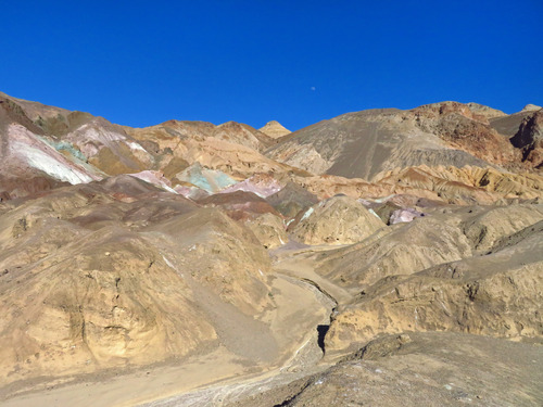
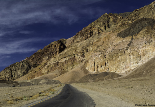
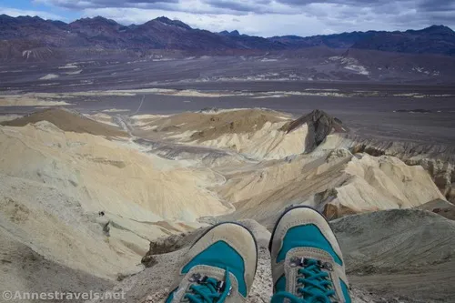
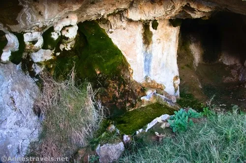
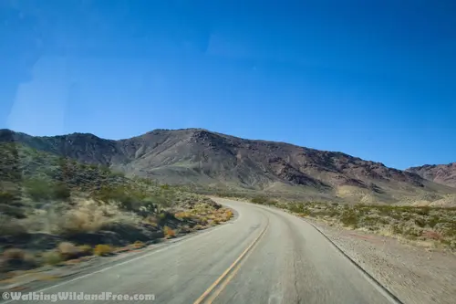
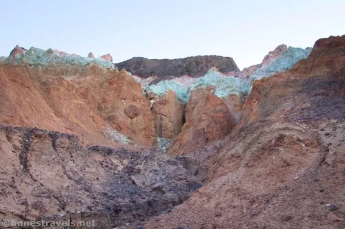
Little Arches Canyon – Death Valley National Park

Just north of Palmer Canyon is Little Arches Canyon, which (unsurprisingly) features two good-sized arches, narrows, and a boulder scramble. Total Distance: 7.2 miles out & back Elevation Gain: 2,538ft. (897ft. to 1,870ft.) Difficulty: 5-10 Mile Difficulty: View Rating: Author’s Rating: Visitor Rating: Visitor Difficulty Rating: Pets: No Horses: Yes Best Seasons: November-April Special Permits: […]

Palmer Canyon – Death Valley National Park

The next canyon north of Fall Canyon is almost as pretty and amazing as its more popular neighbor. Total Distance: 8.8 miles out & back Elevation Gain: 3,292ft. (897ft. to 3,033ft.) Difficulty: 5-10 Mile Difficulty: View Rating: Author’s Rating: Visitor Rating: Visitor Difficulty Rating: Pets: No Horses: Yes Best Seasons: November-April Special Permits: None Water […]

The Cauldron – Death Valley National Park

Explore a circular area of badlands filled with small slots, rock formations, and more to discover near Fall Canyon. Total Distance: 4.7 mile lollipop loop with spurs Elevation Gain: 1,345ft. (923ft. to 1,221ft.) Difficulty: 0-5 Mile Difficulty: View Rating: Author’s Rating: Visitor Rating: Visitor Difficulty Rating: Pets: No Horses: Yes Best Seasons: November-April Special Permits: […]

Artists Palette – Death Valley National Park

Hike up a canyon to see the beautiful Artists Palette – colorful badlands at the base of the Black Mountains. Total Distance: Approx. 0.4 mile lollipop loop Elevation Gain: 147ft. (603ft. to 713ft.) Difficulty: 0-5 Mile Difficulty: View Rating: Author’s Rating: Visitor Rating: Visitor Difficulty Rating: Pets: No Horses: No Best Seasons: November-April Special Permits: […]

Artists Drive – Death Valley National Park

Take a winding paved road through the foothills of the Black Mountains to the spectacular Artists Palette and Star Wars film site. Total Distance: 9.2 miles point to point (one-way) Elevation Gain: 1,682ft. up, 1,720ft. down (-203ft. to 946ft.) Road Difficulty: 0.8 Bicycle Difficulty: More Difficult View Rating: Rating: Visitor Rating: Visitor Difficulty Rating: Pets: […]

Corkscrew Canyon – Death Valley National Park

Hike up a wash to badlands and the wash below the top of 20 Mule Team Canyon. Total Distance: 3.8 miles out & back (to gate) Elevation Gain: 469ft. (1,199ft. to 1,644ft.) Difficulty: 0-5 Mile Difficulty: View Rating: Author’s Rating: Visitor Rating: Visitor Difficulty Rating: Pets: No Horses: Yes Best Seasons: November-April Special Permits: None […]

Hole in the Rock Spring – Death Valley National Park

Follow an old trail up to a spring in the desert. Total Distance: 0.9 miles out & back Elevation Gain: 262ft. (2,729ft. to 2,880ft.) Difficulty: 0-5 Mile Difficulty: View Rating: Author’s Rating: Visitor Rating: Visitor Difficulty Rating: Pets: No Horses: Yes Best Seasons: November-April Special Permits: None Water Availability: No potable water Overnight Options: None […]

Daylight Pass Road – Death Valley National Park

A scenic paved road between the main roads of Death Valley and Beatty, Nevada. The road climbs up from the Scotty’s Castle Road, over Daylight Pass between the Funeral Mountains and the Grapevine Mountains, and then across the plains to US-95. Total Distance: 26.0 miles point to point Elevation Gain: 4,445ft. up, 1,314ft. down (166ft. […]

Desolation Canyon South Fork – Death Valley National Park

A short hike up a trailless desert canyon between badland hills that beings at the same parking area as the main fork of Desolation Canyon. Total Distance: 1.9 miles out & back Elevation Gain: 597ft. (-73ft. to 295ft.) Difficulty: 0-5 Mile Difficulty: View Rating: Author’s Rating: Visitor Rating: Visitor Difficulty Rating: Pets: No Horses: No […]

Latest Trails

2WD Dirt Road Access 4x4 Access 4x4 Dirt Road Backpacking badlands Badwater Road Bicycles Black Mountains CA-190 California canyon colorful rocks Cottonwood Mountains Day Hiking Death Valley National Park Dirt Road Easy Hike Extremely Strenuous Hike Funeral Mountains Geological Interest Ghost Town Grapevine Mountains Harry Wade Road High Clearance Access High Clearance Dirt Road Historic Interest Horses Jeeps Mine Moderate Hike Moderately Strenuous Hike Owlshead Mountains Panamint Mountains Paved Road Access Pets point of interest rock formations Rumored Hike Spring Strenuous Hike Titus Canyon Road Verified Hike Very Strenuous Hike views West Side Road

Categories

Archives