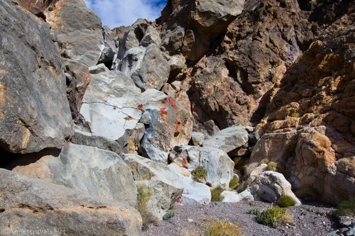
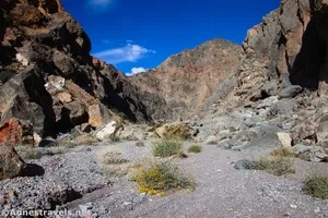
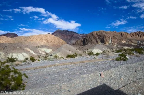
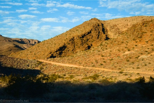
Funeral Slot Canyon – Death Valley National Park
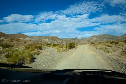
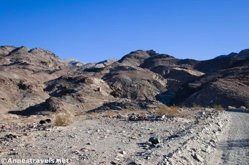
Walk up a wash from the Furnace Springs Campground to good views and a narrow yellow slot in the Funeral Mountains. Total Distance: 7.6 miles out & back with spur Elevation Gain: 2,212ft. (-89ft. to 1,278ft.) Difficulty: 5-10 Mile Difficulty: View Rating: Author’s Rating: Visitor Rating: Visitor Difficulty Rating: Pets: No Horses: Yes Best Seasons: […]