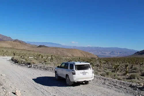
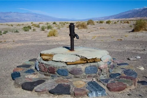
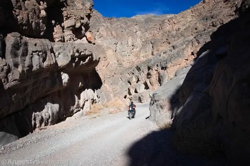
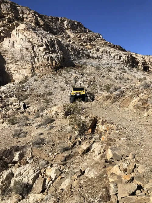
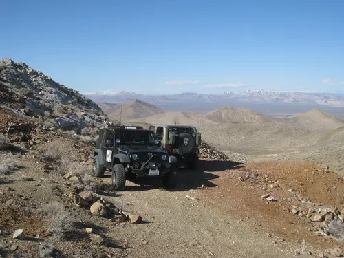
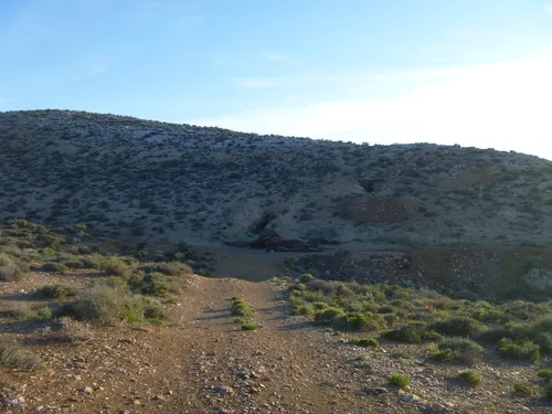
Keane Wonder Access Road – Death Valley National Park

The gravel road used to access the Keane Wonder Trailhead. Total Distance: 2.8 miles point to point (dead end) Elevation Gain: 665ft. up, 230ft. down (676ft. to 1,325ft.) Road Difficulty: 1.2 Bicycle Difficulty: More Difficult View Rating: Rating: Visitor Rating: Visitor Difficulty Rating: Pets: Yes Horses: No Best Seasons: October-May Special Permits: None. Gate closes […]

Racetrack Road – Death Valley National Park

A rough, unpaved, high-clearance-only road that leads to the famous lakebed with mysteriously moving rocks. Do not walk on the playa (mud) if it is wet. Total Distance: 29.5 miles point to point Elevation Gain: 2,693ft. up, 1,419ft. down (2,476ft. to 4,956ft.) Road Difficulty: 1.9 Bicycle Difficulty: More Difficult View Rating: Author’s Rating: Visitor Rating: […]

Ubehebe Crater Road – Death Valley National Park

Drive a paved road up to the Ubehebe Crater Trailhead and the beginning of the Racetrack Road. Total Distance: 6.25 miles point to point Elevation Gain: 666ft. up, 490ft. down (2,023ft. to 2,691ft.) Road Difficulty: 0.8 Bicycle Difficulty: Easy View Rating: Author’s Rating: Visitor Rating: Visitor Difficulty Rating: Pets: Leashed Horses: No Best Seasons: October-May […]

Titus Canyon Road – Death Valley National Park

Follow a gravel road to views, an old mining community, petroglyphs, and a slot canyon. Total Distance: 26.3 miles point to point (one-way road) Elevation Gain: 3,060ft. up, 6,302ft. down (5,261ft. to 175ft.) Road Difficulty: 1.5 Bicycle Difficulty: More Difficult View Rating: Author’s Rating: Visitor Rating: Visitor Difficulty Rating: Pets: Leashed Horses: Yes Best Seasons: […]

Monarch Canyon Road – Death Valley National Park

Rough dirt road down Upper Monarch Canyon to an old miner’s trail. Total Distance: 0.7 miles point to point (dead end) Elevation Gain: 12ft. up, 237ft. down (3,512ft. to 3,287ft.) Road Difficulty: 1.8 Bicycle Difficulty: More Difficult View Rating: Author’s Rating: Visitor Rating: Visitor Difficulty Rating: Pets: Leashed Horses: Yes Best Seasons: October-May Special Permits: […]

Chloride Cliffs Road – Death Valley National Park

Dirt road from US-95 to the Chloride City Road. Total Distance: 11.5 miles point-to-point Elevation Gain: 1,554ft. up, 119ft. down (2,913ft. to 4,405ft.) Road Difficulty: 2.0 Bicycle Difficulty: More Difficult View Rating: Rating: Visitor Rating: Visitor Difficulty Rating: Pets: Leashed Horses: Yes Best Seasons: October-May Special Permits: None Water Availability: None Overnight Options: Dispersed camping […]

Chloride City Road – Death Valley National Park

Rough dirt road to the site of Chloride City, one of the earliest mining areas in Death Valley. Total Distance: 7.5 miles point to point (dead end) Elevation Gain: 2,357ft. up, 498ft. down (3,412ft. to 5,275ft.) Road Difficulty: 2.5 (1.7 for the first 2.2 miles to the Monarch Canyon Spur Road) Bicycle Difficulty: Very Difficult […]

Daylight Pass Road – Death Valley National Park

A scenic paved road between the main roads of Death Valley and Beatty, Nevada. The road climbs up from the Scotty’s Castle Road, over Daylight Pass between the Funeral Mountains and the Grapevine Mountains, and then across the plains to US-95. Total Distance: 26.0 miles point to point Elevation Gain: 4,445ft. up, 1,314ft. down (166ft. […]