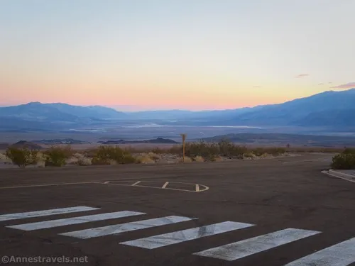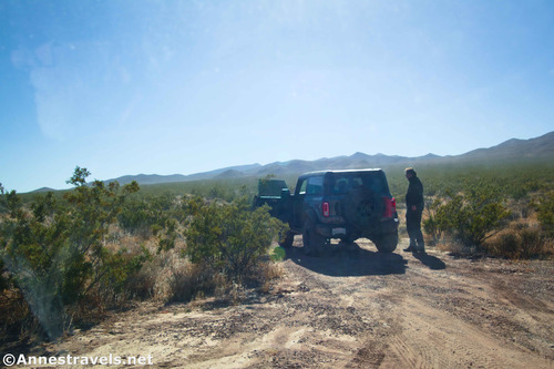
Greenwater Townstire Road (North) – Death Valley National Park
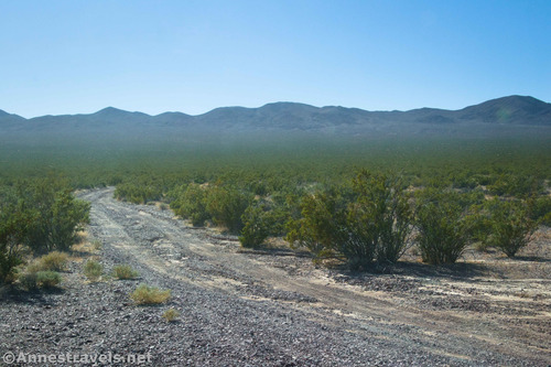
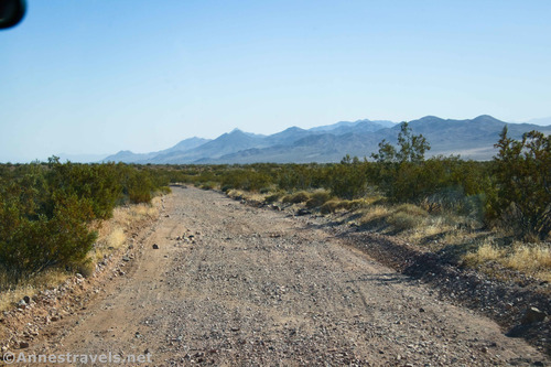
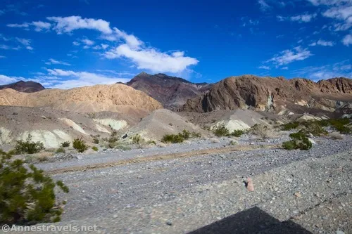
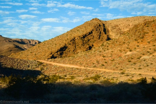
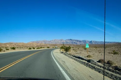
This is the northerly of the two roads leaving the Greenwater Valley Road to approach Greenwater Townsite. From Greenwater, it continues southward and then loops north to meet the Furnace Townsite Road. Total Distance: 7.6 miles point-to-point Elevation Gain: 1,722ft. up, 1,426ft. down (3,733ft. to 5,420ft.) Road Difficulty: 1.8 (high clearance required) Bicycle Difficulty: More […]