Saratoga Spring Mine Road – Death Valley National Park
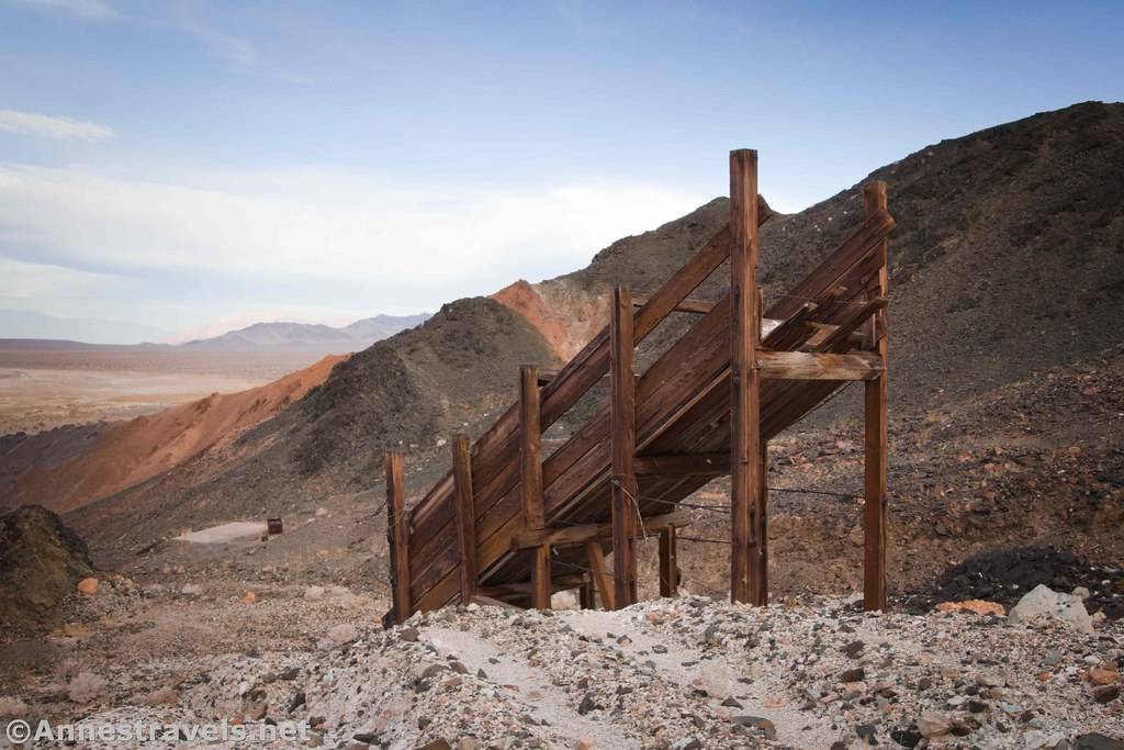
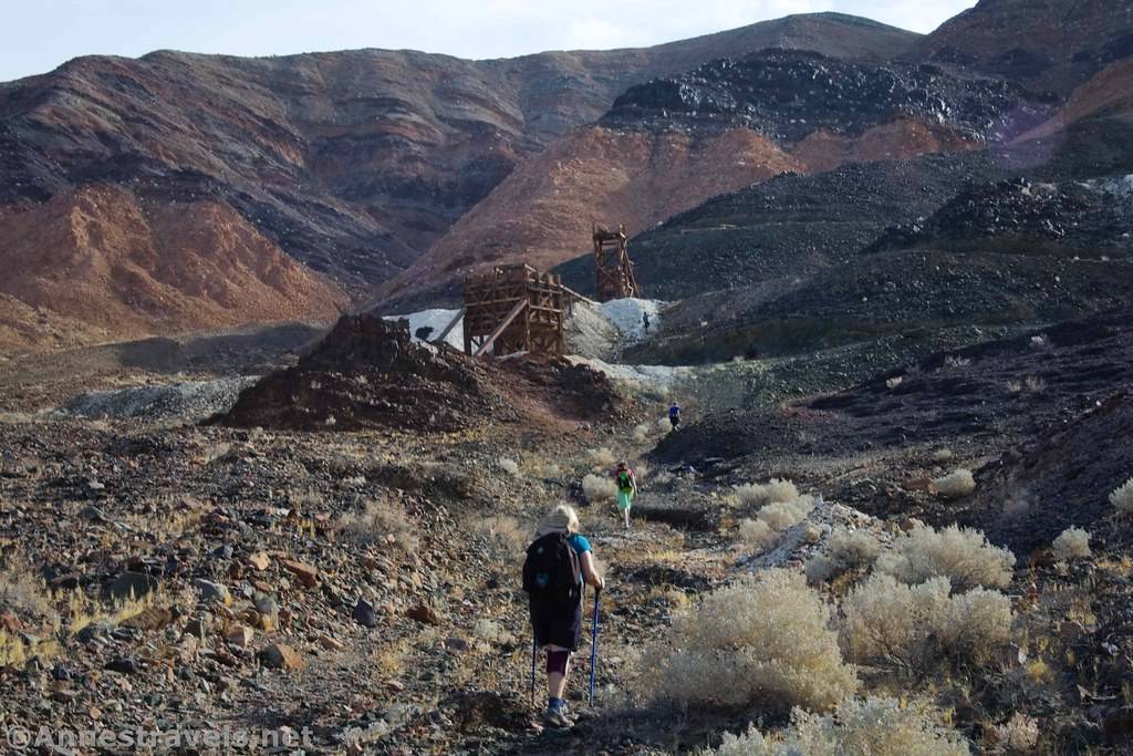
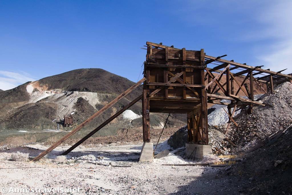
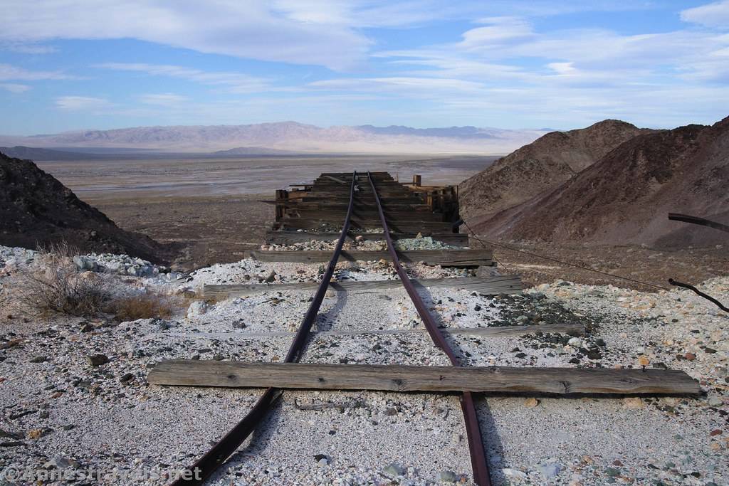
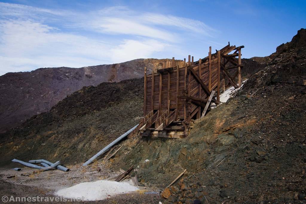
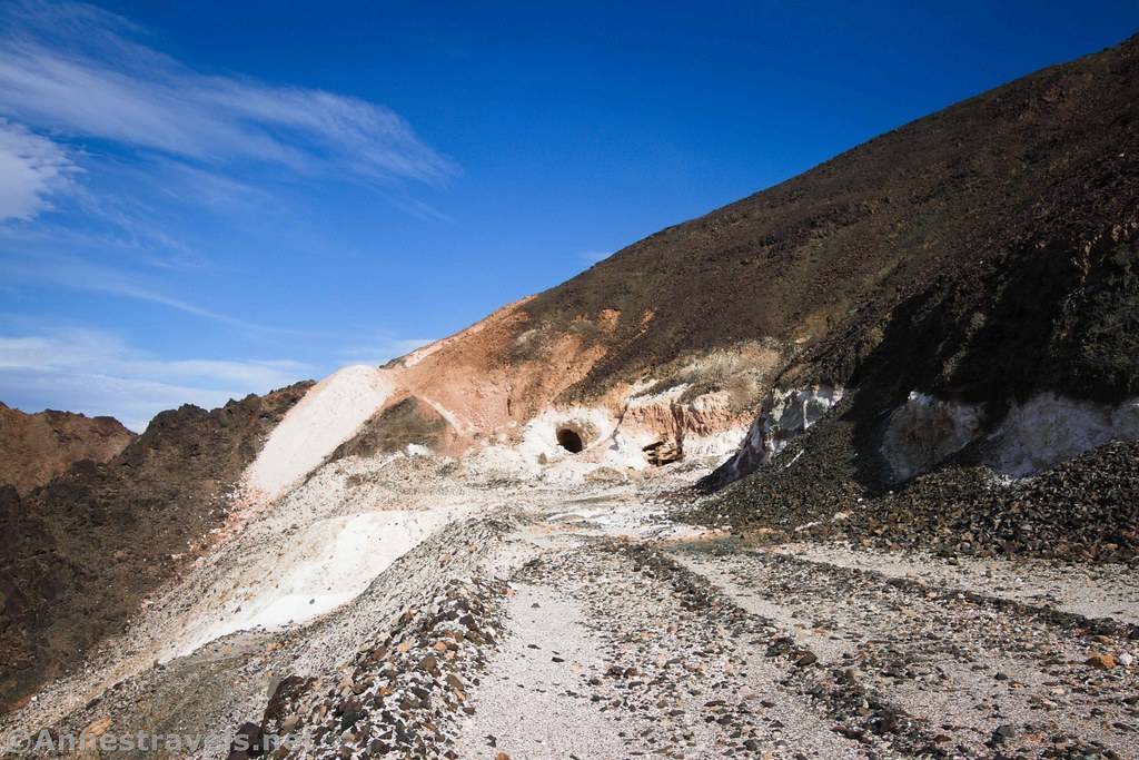
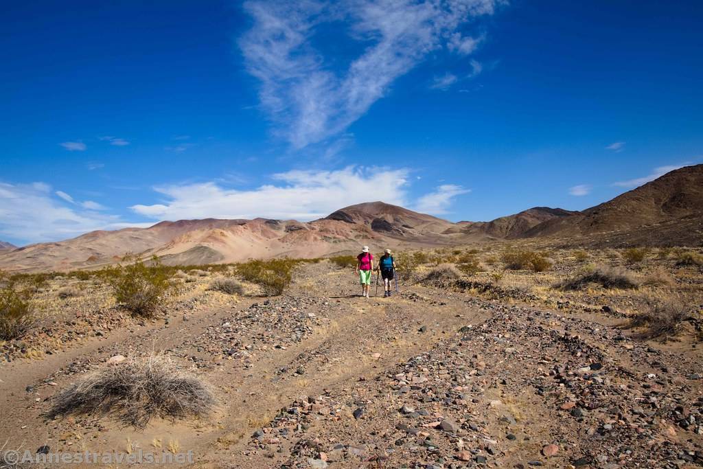
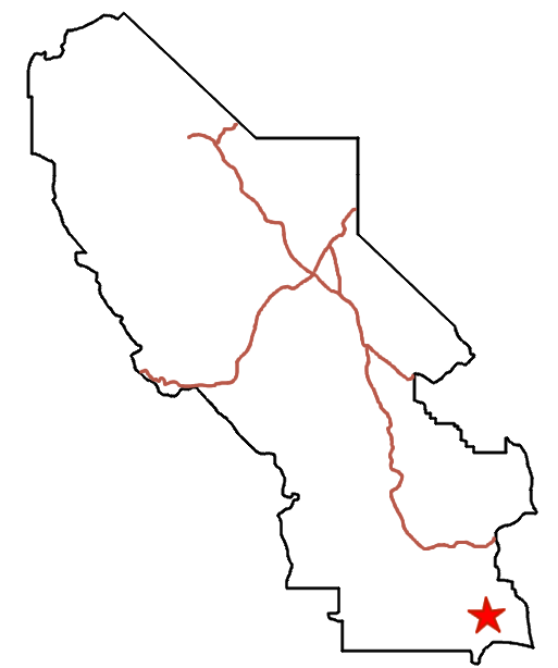


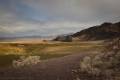
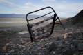
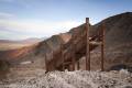
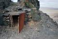
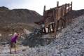
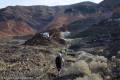
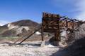
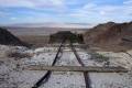
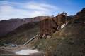
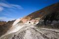
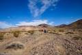
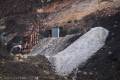


Walk along an old mine road through views of Death Valley and to various old mining structures.
| Total Distance: 7.2 miles out & back | Elevation Gain: 490ft. (176ft. to 447ft.) |
| Difficulty: Moderate | 0-5 Mile Difficulty: Moderately Strenuous |
| View Rating: 4.0 out of 5.0 stars | Author’s Rating: 4.0 out of 5.0 stars |
| Visitor Rating: (Click to rate) [Total: 0 Average: 0] | Visitor Difficulty Rating: (Click to rate) [Total: 0 Average: 0] |
| Pets: No | Horses: Yes |
| Best Seasons: November-April | Special Permits: None. No rock collecting is permitted. |
| Water Availability: No potable or reliable water (do not enter the springs area) | Overnight Options: At least 1 mile north of Saratoga Spring |
| Trailhead Amenities: None | Crowd Factor: Solitude |
| Trailhead Access: 1.5 (4×4 required when road is flooded – 2.0) | |
Uses:         | Trail Surface:     |
Features:      | Hazards:      |
Mile-by-Mile: Saratoga Spring Mine Road
0.0 Saratoga Spring Trailhead (215ft.). Walk uphill on the defined path beyond the “Road Closed” sign. (35.6807667°, -116.4211000°)
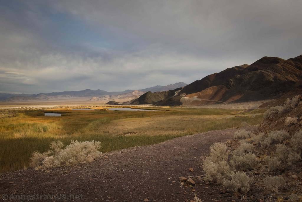
300ft. Saratoga Spring Overlook (229ft.). Veer right to walk down the old road that is visible traversing the base of the hills. Pass by some old ruins (these were once part of a spa resort). Views are very good across the springs. Note that it is illegal to enter the springs. (35.6811333°, -116.4217500°)
0.3 Road Ys (203ft.). As the road approaches an arm of the hillside to climb it, turn left to follow the vague road around the end of the arm. (You can climb the road up the arm, but it ends in a rocky slide atop the arm.) Keep walking north. (35.685281°, -116.420322°)
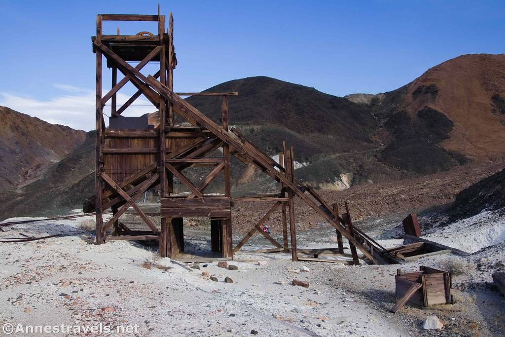
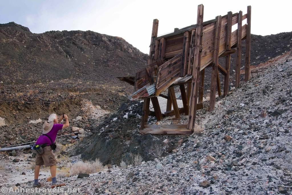
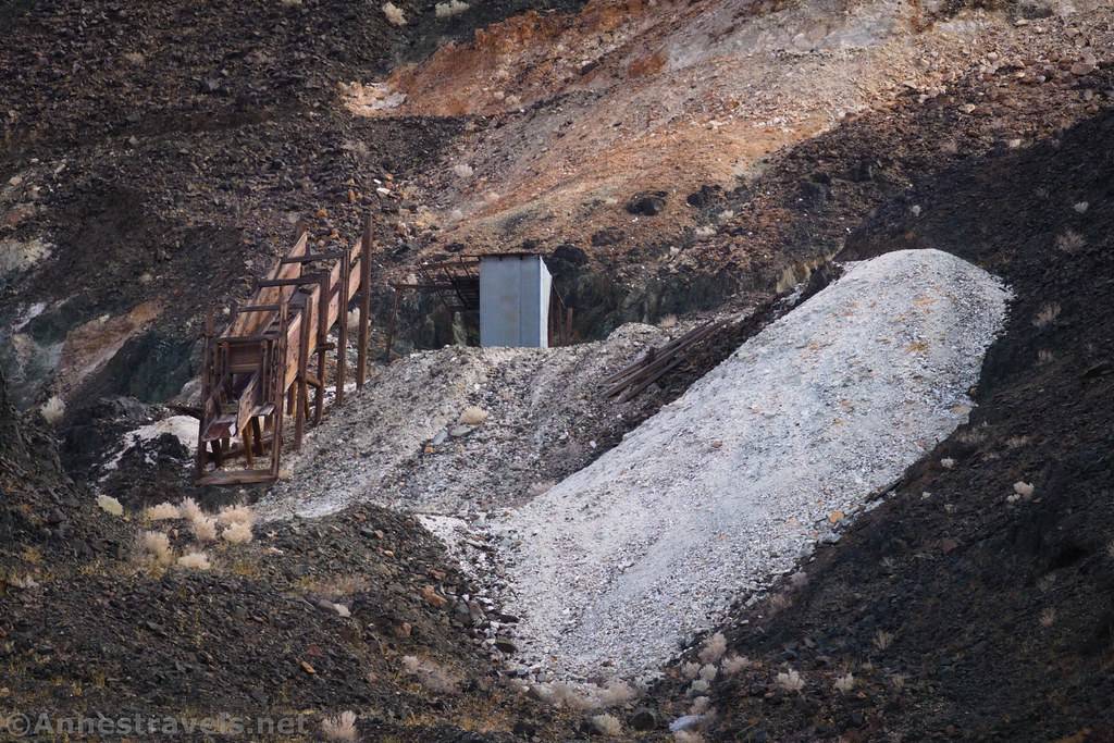
0.8 View of Old Mine Ruins (193ft.). Look right up the valley to see the ruins of the middle of three mines known as the Saratoga Mine Workings. Continue walking north on the old road. (35.6913333°, -116.4232667°)
1.3 View of Old Mine Ruins (183ft.). Look right up the valley to see the ruins of the Saratoga Mine and the northernmost Saratoga Mine Workings. These mines produced talc in the 1940s through the early 1960s. Keep walking north. (35.6986323°, -116.4257009°)
1.5 Road split (182ft.). The most obvious road goes right, where it fairly quickly reaches a gate with a “road closed” sign on the opposite side. This is the Superior Mine Road. You want to turn left on the vague mining road to continue north and slightly west. (Note: If you accidentally miss this turn, a second road turns north just beyond the gate. The second road will take you down on the “road enters from right” (below).) (35.701336°, -116.426247°)
2.9 Road enters from right (306ft.). The road turns northeast. After a bit, the road turns northeast up into the hills. (35.720738°, -116.432576°)
3.5 Road splits (426ft.). It appears that the more obvious road goes right to some lower mine workings. You want to go left to walk north to ascend up to the mine ruins. (35.726386°, -116.426687°)
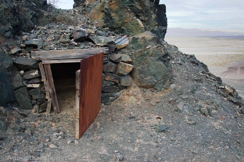
3.6 Ponga Mine (447ft.). Use care as the mine does not have safety features in place to make it tourist-friendly. (35.727548°, -116.426384°)
History & More
I’ve taken this hike twice (or at least, part of it twice), and I very much enjoyed it both times. The views are excellent, and the mine workings are pretty neat, too.
The mine workings are technically private property (owned by a pharmaceutical company), but they haven’t been worked in years, and most of the major openings have been bulldozed under. If you choose to explore, stay out of mine shafts and use extreme respect – it’s possible the mine areas would be closed off to the public if there are issues.
Talc can cause cancer. Try not to breathe the dust, and limit your exposure.
It’s quite easy to continue on the Superior Mine Road over to the Whitecap Mine, the Superior Mine, and the Ibex Dunes Road.
Download Route Map
Driving Directions
The route begins at the end of the Saratoga Spring Road.
It is extremely dangerous to enter a mine due to unstable shafts, gasses, and more. Do not enter mines, even if they are apparently open!
Walking on, climbing, entering, ascending, descending, or traversing any mine, structure, feature, or ruin is prohibited.
Toxic chemicals or ore may be present around mine sites. Enter at your own risk.
Possessing, destroying, injuring, defacing, removing, digging, or disturbing any mine, structure, feature, or ruin is also prohibited.
Camping is not allowed within one mile of a paved road, developed area, or dirt road that is closed to camping.
Camping is not permitted within 100 feet of a flowing stream, spring, or other natural body of open water.
No camping is permitted on the floor of Death Valley, within one mile of Darwin Falls and Greenwater Canyon, on the active/shifting sand dunes, and certain other canyons and backcountry areas.
Camping is also prohibited within one mile of the Ubehebe Lead Mine, Leadfield Mines, Keane Wonder Mill, and Skidoo Mill.
Camping is limited to 30 days per calendar year within the park.
Fires are permitted in NPS-provided fire grates or grills ONLY.
Leave No Trace Principles are enforced
Drones and model aircrafts are prohibited
Camping is permitted only in designated sites or in areas open to dispersed backcountry camping
All park rules and regulations
12 Month Pass: $55/Death Valley Annual Pass (valid at Death Valley National Park). $80/America the Beautiful Annual Pass (valid at all national park and federal fee areas). $20/Annual Senior Pass (62 years or older US citizens; valid at all national park and federal fee areas). Free/4th Grade Pass (Valid Sept. 1-August 31 of the child’s 4th Grade school year). Free/Military Pass (valid for all active military personel and their dependents with a CAC Card or DD Form 1173).
Lifetime Pass: $80/Lifetime Senior Pass (62 years or older US citizens; valid at all national park and federal fee areas). Free/Access Pass (available to all US citizens with perminent disabilities). Free/Access for Veterans and Gold Star Families Pass (valid for all military and veterans with a CAC card, Veteran HJealth Identification Card, Veteran ID Card, or veteran’s designation on state-issued drivers license or identification card.)