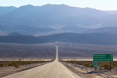
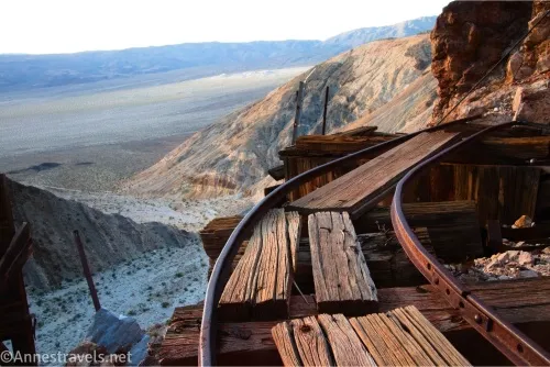
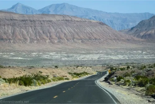
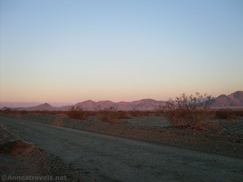
Owlshead Mountains Viewpoint/Black Magic Mine Road – Death Valley National Park
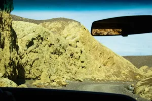
Rough dirt road to an old mine site with ruins and fantastic views of the Owlshead Mountains. Total Distance: 5.0 miles one-way (dead end) from the Owl Hole Spring Road Elevation Gain: 1,689ft. (1,912ft. to 3,254ft.) Road Difficulty: 2.5 Bicycle Difficulty: Very Difficult View Rating: Rating: Visitor Rating: Visitor Difficulty Rating: Pets: Leashed Horses: Yes […]