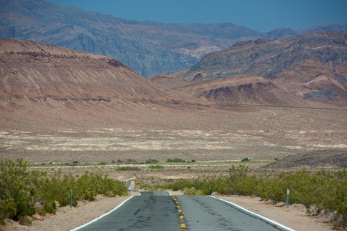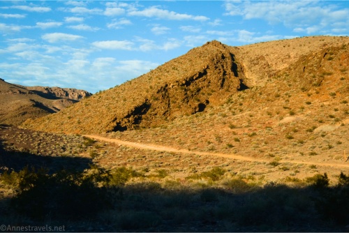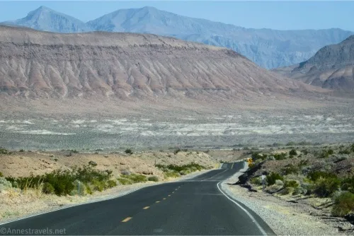
Jubilee Pass Road – Death Valley National Park

The main entrance to the southern part of Death Valley National Park, connecting CA-127 to the south end of the Badwater Road/north end of the Harry Wade Road. Total Distance: 25.0 miles point to point Elevation Gain: 2,016ft. up, 3,632ft. down east to west (3,292ft. to 25ft.) Road Difficulty: 0.6 Bicycle Difficulty: Easy View Rating: […]
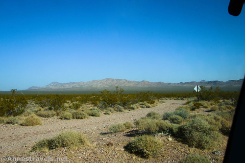

4×4 Road: Deadman Pass Road – Death Valley National Park

Drive across Deadman Pass in the Greenwater Mountains between Greenwater Valley Road and CA-127. Total Distance: 13.4 miles point to point Elevation Gain: 341ft. up, 1,278ft. down (3,264ft. to 2,065ft.) Road Difficulty: 2.0 (4×4 required) Bicycle Difficulty: More Difficult View Rating: Author’s Rating: Visitor Rating: Visitor Difficulty Rating: Pets: Leashed Horses: Yes Best Seasons: October-May […]

Brown Peak (East Approach) – Death Valley National Park

Scramble up an unassuming but very pretty peak to fantastic views of the surrounding area. Total Distance: 10.4 miles out & back Elevation Gain: 3,139ft. (1,833ft. to 4,949ft.) Difficulty: 10+ Mile Difficulty: View Rating: Author’s Rating: Visitor Rating: Visitor Difficulty Rating: Pets: No Horses: Yes Best Seasons: November-April Special Permits: None Water Availability: None Overnight […]

CA-127 & NV-373 – Death Valley National Park

The state highway along the east side of Death Valley National Park, from Baker, CA (I-15) to US-95 north of Amargosa Valley, NV. Total Distance: 107.0 miles point to point Elevation Gain: 3,668ft. up, 1,939ft. down (406ft. to 2,663ft.) Road Difficulty: 0.6 Bicycle Difficulty: Easiest View Rating: Rating: Visitor Rating: Visitor Difficulty Rating: Pets: Leashed […]

Lee’s Camp Road – Death Valley National Park

Rough gravel/dirt road through mining country in the Funeral Mountains and past Lee’s Camp to a point near the “town” of Amargosa Valley. Total Distance: 18.2 miles point-to-point Elevation Gain: 1,658ft. up, 2,849ft. down (2,381ft. to 4,857ft.) Road Difficulty: 2.5+; 2.0 for southern 3 miles; 1.6 for northern 7.6 miles Bicycle Difficulty: Very Difficult View […]

Latest Trails

2WD Dirt Road Access 4x4 Access 4x4 Dirt Road Backpacking badlands Badwater Road Bicycles Black Mountains CA-190 CA-190 East California canyon colorful rocks Day Hiking Death Valley National Park Dirt Road Easy Hike Extremely Strenuous Hike Funeral Mountains Geological Interest Ghost Town Grapevine Mountains Harry Wade Road High Clearance Access High Clearance Dirt Road Historic Interest Horses Jeeps Mine Moderate Hike Moderately Strenuous Hike Owlshead Mountains Panamint Mountains Paved Road Access Pets point of interest rock formations Rumored Hike Spring Strenuous Hike Titus Canyon Road Verified Hike Very Strenuous Hike views West Side Road

Categories

Archives