Big Four (War Eagle) Mine – Death Valley National Park
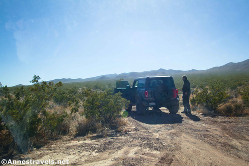
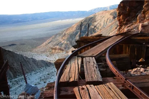
Hike up an old road to a few old mining audits, an ore chute, and more. Total Distance: 0.6 miles out & back Elevation Gain: 454ft. (2,424ft. to 2,805ft.) Difficulty: 0-5 Mile Difficulty: View Rating: Author’s Rating: Visitor Rating: Visitor Difficulty Rating: Pets: No Horses: Yes, though a horse would struggle with much of the […]