Quail Colorful Canyon Loop – Death Valley National Park
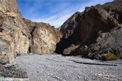
Exploration of two unnamed canyons in the Quail Mountains with narrows and colorful rocks. Total Distance: 4.8 mile loop Elevation Gain: 793ft. (2,204ft. to 2,965ft.) Difficulty: 0-5 Mile Difficulty: View Rating: Author’s Rating: Visitor Rating: Visitor Difficulty Rating: Pets: No Horses: Yes Best Seasons: November-April Special Permits: None (do not go south into the Fort […]