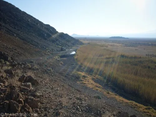
Dirt Road: Saratoga Spring Road – Death Valley National Park
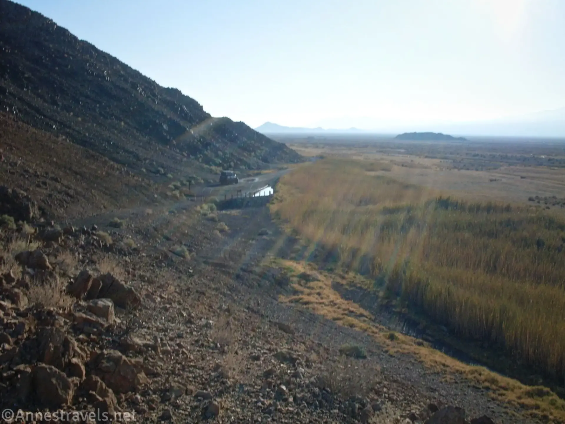
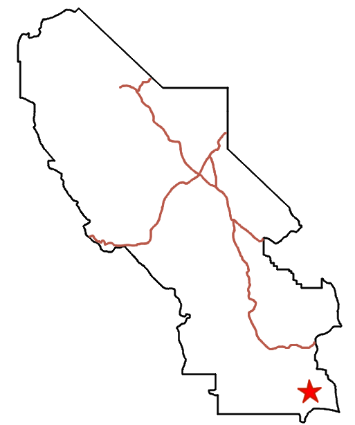


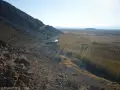
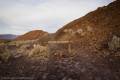


Graded gravel/dirt road that gives access to a spring and other adventures.
| Total Distance: 9.9 mile point to point (dead end) | Elevation Gain: 796ft. (481ft. to 212ft.) |
| Road Difficulty: 1.5 | Bicycle Difficulty: Easy |
| View Rating: 3.0 out of 5.0 stars | Rating: 4.0 out of 5.0 stars |
| Visitor Rating: (Click to rate) [Total: 0 Average: 0] | Visitor Difficulty Rating: (Click to rate) [Total: 0 Average: 0] |
| Pets: Leashed | Horses: Yes |
| Best Seasons: November-April | Special Permits: None |
| Water Availability: No potable or reliable water (do not enter the springs area) | Overnight Options: North side of road only for the eastern 5.8 miles; southern 1.7 miles only after the road turns north |
| Amenities: None | Crowd Factor: Solitude |
Uses:          | Road surface:   |
Features:  | Hazards:      |
Mile-by-Mile: Saratoga Spring Road
0.0 Beginning of Saratoga Spring Road on CA-127 (481ft.). Drive west on the gravel Saratoga Spring Road. (35.632837°, -116.290619°)
5.9 Saratoga Spring Road turnoff (270ft.). Turn right to drive north on the Saratoga Spring Road. Straight (west) on the main road takes you to the Harry Wade Road. (35.646732°, -116.391714°)
8.6 Ibex Dunes Road (234ft.). Up to this point, the road is usually fine for most vehicles. After this, the road is more rutted, usually requiring high clearance. Follow the main road as it turns sharply left (west) along the base of the mountains. The road beyond this is sometimes flooded by the Amargosa River; 4×4 is required or the road may be impassible if the road is wet. (35.684618°, -116.402611°)
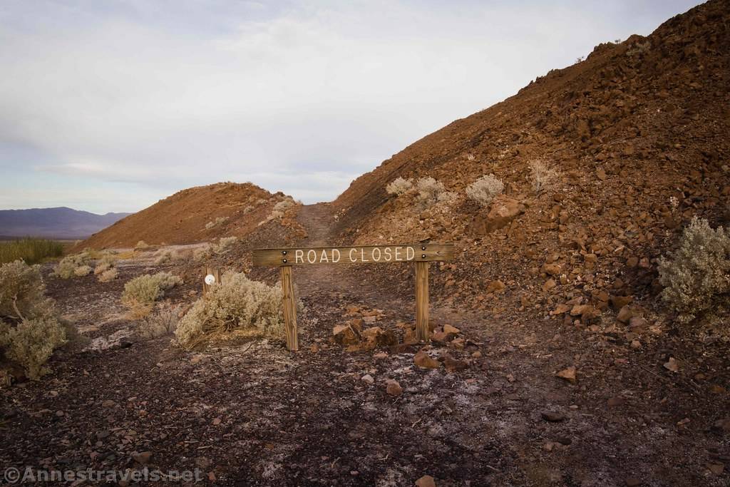
9.9 End of the road (212ft.). The road ends at a wooden “Road Closed” sign next to a hill. The path up to an overlook of Saratoga Spring is beyond the sign. (35.680643°, -116.420939°)
History & More
Saratoga Spring was a major watering hole for the 20 Mule Team and early explorers and miners. A health spa was even built nearby, though I gather it was never especially profitable.
I know from personal experience what can happen when the Amargosa River is flowing across the road. My van managed to get stuck in the mud – we did get out (a shovel, four teens pushing, and very likely a few angels helping), but now I’m wary whenever I drive the road. Part of the problem is that the road’s low point is just around a corner, so you come to the puddle before you realize it’s there.
On one visit, as we pulled up to the turn away from the Harry Wade Road, we spotted an entire train of Conestoga wagons. There were horses and mules, laundry on a line, and any number of other period pieces. There were also a few very modern tents, most of them looking like they’d come from REI. What there wasn’t was people. We didn’t see a soul around, but by the time we came back out the next day, you’d never have known any of it had been there. Who knows?
Download Route Map
Driving Directions
The road begins along CA-127, 29.6 miles north of Baker and 26.4 miles south of Shoshone.
Leave No Trace Principles are enforced
Drones and model aircrafts are prohibited
Camping is permitted only in designated sites or in areas open to dispersed backcountry camping
Click here for all park rules and regulations
12 Month Pass: $55/Death Valley Annual Pass (valid at Death Valley National Park). $80/America the Beautiful Annual Pass (valid at all national park and federal fee areas). $20/Annual Senior Pass (62 years or older US citizens; valid at all national park and federal fee areas). Free/4th Grade Pass (Valid Sept. 1-August 31 of the child’s 4th Grade school year). Free/Military Pass (valid for all active military personel and their dependents with a CAC Card or DD Form 1173).
Lifetime Pass: $80/Lifetime Senior Pass (62 years or older US citizens; valid at all national park and federal fee areas). Free/Access Pass (available to all US citizens with perminent disabilities). Free/Access for Veterans and Gold Star Families Pass (valid for all military and veterans with a CAC card, Veteran HJealth Identification Card, Veteran ID Card, or veteran’s designation on state-issued drivers license or identification card.)