
Head Benchmark – Death Valley National Park


Cross-country hike to the second-highest named summit in the Quail Mountains.
| Total Distance: 7.4 miles out & back | Elevation Gain: 1,379ft. (2,11ft. to 3,486ft.) |
| Difficulty: Easy | 5-10 Mile Difficulty: Easy |
| View Rating: 5.0 out of 5.0 stars | Author’s Rating: 3.0 out of 5.0 stars |
| Visitor Rating: (Click to rate) [Total: 0 Average: 0] | Visitor Difficulty Rating: (Click to rate) [Total: 0 Average: 0] |
| Pets: No | Horses: Yes |
| Best Seasons: November-April | Special Permits: None (do not go south into the Fort Irwin Military Reservation) |
| Water Availability: None | Overnight Options: Dispersed camping permitted |
| Trailhead Amenities: None | Crowd Factor: Solitude |
| Trailhead Access: 2.0 4×4 appreciated, though high clearance may be ok in dry weather | |
| Uses: | Trail Surface: |
| Features: | Hazards: |
Mile-by-Mile: Head Benchmark
0.0 Owl Hole Spring Road turns north (2,171ft.). About 1.25 miles beyond Randsberg Road, the Owl Hole Spring Road takes a sharp turn to the north. Park here and begin walking west and slightly north – do not go south as you’ll quickly end up on government property that is off-limits due to its military testing status. Head generally toward the Quail Mountains. You can follow various washes that head toward the mountains. (35.627185°, -116.682956°)
2.8 Wash into the mountains (2,960ft.). Many washes enter the mountains; turn up this one that heads west and slightly south. (35.632430°, -116.731018°)
3.0 Begin ascent (3,069ft.). Turn right up the hillside to begin to ascend up to the ridgeline that will take you up to Head Benchmark. Once at the ridgeline, continue north and west, heading for the high point. Keep your eyes open for drone or airplane pieces that crashed over the park boundary from military test missions. (35.631872°, -116.734462°)
3.7 Top of Head Benchmark (3,486ft.). No marker is visible on the summit, but views are excellent northeast over Owl Lake, northwest to Telescope Peak, west over the plateaus of the Quail Mountains, south over military land, and east to the Ibex Dunes. (35.636635°, -116.744487°)
History & More
There is no trail up Head Benchmark – you’re on your own for this one! Be sure to stay safe as you try to follow my somewhat vague directions.
Geological survey benchmarks are survey markers that have been surveyed as accurately as possible, given technology at the time that they were set in place. They are helpful to current surveyors in ensuring the accuracy of current geographic data. Death Valley National Park alone contains hundreds of benchmarks.
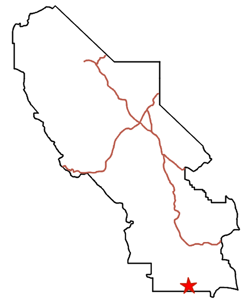
Download Route Map
Driving Directions
The road begins along the Owl Hole Spring Road, 12.4 miles from its beginning at the junction with the Harry Wade Road. It is located 1.25 miles west of the Randsburg Road Junction at the point where the Owl Hole Spring Road turns north/northwest after traveling due west.
It is extremely dangerous to enter a mine due to unstable shafts, gasses, and more. Do not enter mines, even if they are apparently open!
Walking on, climbing, entering, ascending, descending, or traversing any mine, structure, feature, or ruin is prohibited.
Toxic chemicals or ore may be present around mine sites. Enter at your own risk.
Possessing, destroying, injuring, defacing, removing, digging, or disturbing any mine, structure, feature, or ruin is also prohibited.
Always be wary of flash floods in a canyon.
Camping in a canyon is discouraged due to the danger of flash floods.
Remember, it may be easier to climb up dryfalls than down them (or vice versa). Be sure you can climb in the other direction before climbing up or down a dryfall.
Camping is not allowed within one mile of a paved road, developed area, or dirt road that is closed to camping.
Camping is not permitted within 100 feet of a flowing stream, spring, or other natural body of open water.
No camping is permitted on the floor of Death Valley, within one mile of Darwin Falls and Greenwater Canyon, on the active/shifting sand dunes, and certain other canyons and backcountry areas.
Camping is also prohibited within one mile of the Ubehebe Lead Mine, Leadfield Mines, Keane Wonder Mill, and Skidoo Mill.
Camping is limited to 30 days per calendar year within the park.
Fires are permitted in NPS-provided fire grates or grills ONLY.
Leave No Trace Principles are enforced
Drones and model aircrafts are prohibited
Camping is permitted only in designated sites or in areas open to dispersed backcountry camping
All park rules and regulations
12 Month Pass: $55/Death Valley Annual Pass (valid at Death Valley National Park). $80/America the Beautiful Annual Pass (valid at all national park and federal fee areas). $20/Annual Senior Pass (62 years or older US citizens; valid at all national park and federal fee areas). Free/4th Grade Pass (Valid Sept. 1-August 31 of the child’s 4th Grade school year). Free/Military Pass (valid for all active military personel and their dependents with a CAC Card or DD Form 1173).
Lifetime Pass: $80/Lifetime Senior Pass (62 years or older US citizens; valid at all national park and federal fee areas). Free/Access Pass (available to all US citizens with perminent disabilities). Free/Access for Veterans and Gold Star Families Pass (valid for all military and veterans with a CAC card, Veteran HJealth Identification Card, Veteran ID Card, or veteran’s designation on state-issued drivers license or identification card.)