Corridor Canyon to Saline Valley – Death Valley National Park
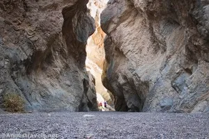
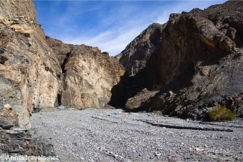
From the end of The Corridor, Corridor Canyon continues down to empty into Saline Valley. A couple of easy dryfalls and one Class 4 scramble (or ropes) are required, although most of the canyon is wide and easy to walk. Total Distance: 12.5 miles point-to-point or 14.8 miles out & back Elevation Gain: 1,090ft. gain, […]