Slit Canyon – Death Valley National Park

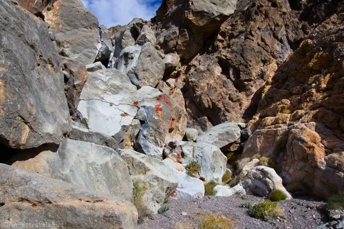
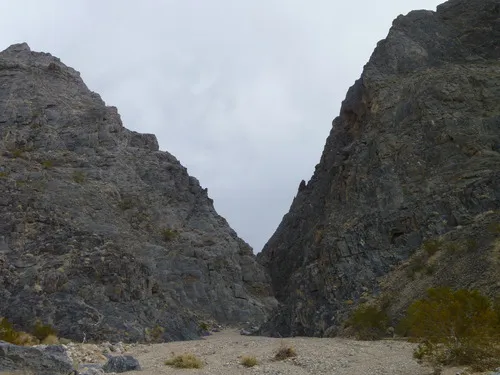
Hike to and up a remote slot canyon in the Funeral Mountains off of Hole in the Wall Road. Some scrambling is required. Total Distance: 9.4 miles out & back Elevation Gain: 3,029ft. (1,891ft. to 4,187ft.) Difficulty: 5-10 Mile Difficulty: View Rating: Author’s Rating: Visitor Rating: Visitor Difficulty Rating: Pets: No Horses: Yes (likely cannot […]

Hole in the Wall Road – Death Valley National Park

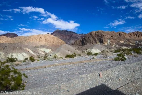
Gravel/dirt road that gives access to Hole in the Wall and an old (mostly undeveloped) mining area. Total Distance: 6.0 miles point-to-point (dead end) Elevation Gain: 1,573ft. up, 5ft. down (992ft. to 2,562ft.) Road Difficulty: 1.2 for the first 3 miles; 2.0 beyond Bicycle Difficulty: More Difficult View Rating: Author’s Rating: Visitor Rating: Visitor Difficulty […]

Lee’s Camp Road – Death Valley National Park

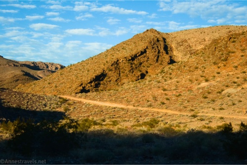
Rough gravel/dirt road through mining country in the Funeral Mountains and past Lee’s Camp to a point near the “town” of Amargosa Valley. Total Distance: 18.2 miles point-to-point Elevation Gain: 1,658ft. up, 2,849ft. down (2,381ft. to 4,857ft.) Road Difficulty: 2.5+; 2.0 for southern 3 miles; 1.6 for northern 7.6 miles Bicycle Difficulty: Very Difficult View […]

Echo Canyon Overlook – Death Valley National Park

Take Echo Canyon – the longest canyon in the Funeral Mountains – to an overlook of the Amargosa Desert and the Shoshone Mountains. Total Distance: 6.8 miles out & back Elevation Gain: 698ft. (4,123ft. to 4,731ft.) Difficulty: 5-10 Mile Difficulty: View Rating: Author’s Rating: Visitor Rating: Visitor Difficulty Rating: Pets: No Horses: Yes Best Seasons: […]

Corridor Canyon – Death Valley National Park

Hike down a canyon with fossils, narrows, and slippery dryfalls to a very straight, sheer-faced canyon deep in the Last Chance Range. Total Distance: 7.8 miles out & back with spur Elevation Gain: 1,980ft. (3,860ft. to 2,880ft.) Difficulty: 5-10 Mile Difficulty: View Rating: Author’s Rating: Visitor Rating: Visitor Difficulty Rating: Pets: No Horses: Yes Best […]

Bighorn Gorge – Death Valley National Park

An off-trail hike that is often backpacked into a desert canyon with dryfalls and short stretches of narrows. Total Distance: 20 miles out & back Elevation Gain: 5,414ft. (1,456ft. to 5,056ft.) Difficulty: 10+ Mile Difficulty: View Rating: Author’s Rating: Visitor Rating: Visitor Difficulty Rating: Pets: No Horses: Yes Best Seasons: November-April Special Permits: None Water […]

Upper Titus Canyon – Death Valley National Park

Walk up a colorful desert canyon to a narrow canyon. Total Distance: 9.5 miles out & back Elevation Gain: 2,435ft. (3,745ft. to 6,140ft.) Difficulty: 5-10 Mile Difficulty: View Rating: Author’s Rating: Visitor Rating: Visitor Difficulty Rating: Pets: No Horses: Yes Best Seasons: November-April Special Permits: None Water Availability: None Overnight Options: Yes at least 2.0 […]

Titanothere Canyon Shuttle Hike – Death Valley National Park

Hike down a remote desert canyon from Titus Canyon Road to Scotty’s Castle Road. Total Distance: 11.2 mile shuttle Elevation Gain: 23ft. up, 4,925ft. down (4,997ft. to 94ft.) Difficulty: going downcanyon; going upcanyon 10+ Mile Difficulty: going downcanyon; going upcanyon View Rating: Author’s Rating: Visitor Rating: Visitor Difficulty Rating: Pets: No Horses: Yes Best Seasons: […]

Willow Canyon – Death Valley National Park

H ike up a desert canyon to a small slot and a seasonal waterfall. Total Distance: 4.4 miles out & back Elevation Gain: 1,325ft. (-236ft. to 615ft.) Difficulty: 0-5 Mile Difficulty: View Rating: Author’s Rating: Visitor Rating: Visitor Difficulty Rating: Pets: No Horses: No Best Seasons: December-May Special Permits: None Water Availability: Seasonal (non-potable) Overnight […]

Latest Trails

2WD Dirt Road Access 4x4 Access 4x4 Dirt Road Backpacking badlands Badwater Road Bicycles Black Mountains CA-190 California canyon colorful rocks Cottonwood Mountains Day Hiking Death Valley National Park Dirt Road Easy Hike Extremely Strenuous Hike Funeral Mountains Geological Interest Ghost Town Grapevine Mountains Harry Wade Road High Clearance Access High Clearance Dirt Road Historic Interest Horses Jeeps Mine Moderate Hike Moderately Strenuous Hike Owlshead Mountains Panamint Mountains Paved Road Access Pets point of interest rock formations Rumored Hike Spring Strenuous Hike Titus Canyon Road Verified Hike Very Strenuous Hike views West Side Road

Categories

Archives