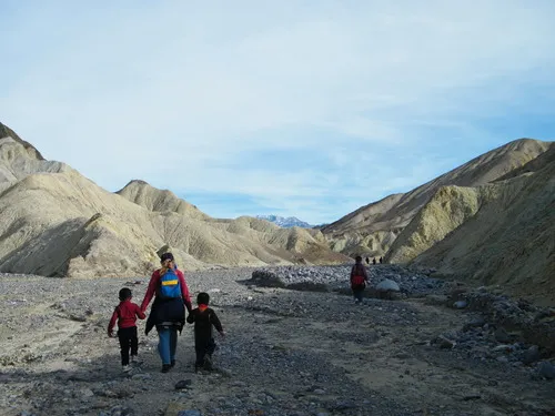
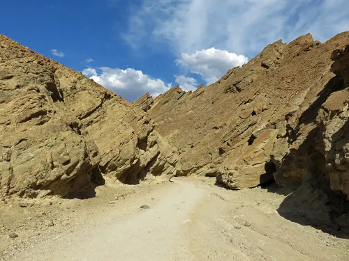
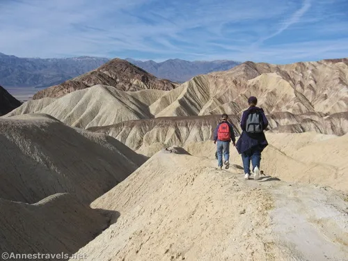
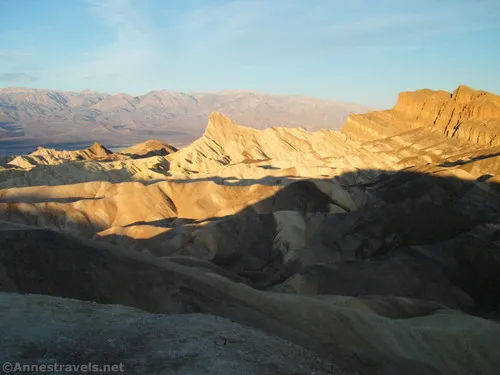
20 Mule Team Scenic Drive – Death Valley National Park

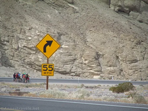
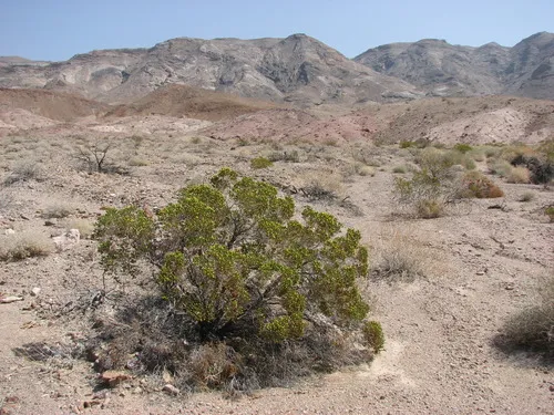
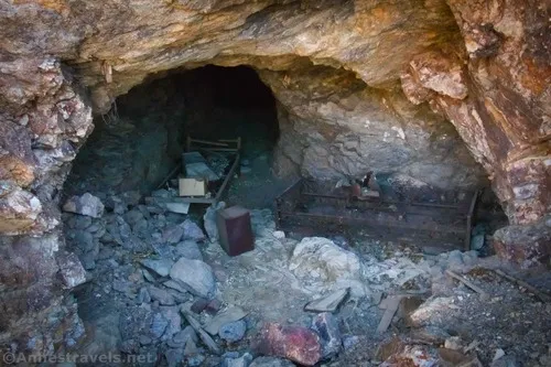
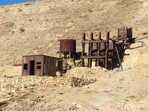
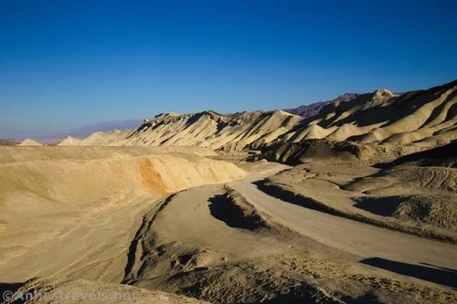
F ollow the footsteps of the famous 20 Mule Team on this beautiful, unpaved, 2WD-friendly scenic drive through badlands and past old borax mines and Star Wars film sites. Total Distance: 2.75 miles point to point Elevation Gain: 480ft. gain, 185ft. loss (860ft. to 1,230ft.) Road Difficulty: 1.3 Bicycle Difficulty: More Difficult View Rating: Rating: […]

Gower Gulch – Death Valley National Park

H ike and scramble up a desert canyon. The Gower Gulch route is usually combined with the Badlands Loop and Golden Canyon for a loop option. Total Distance: 6.4 miles out & back Elevation Gain: 1,094ft. (-186ft. to 590ft.) Difficulty: 5-10 Mile Difficulty: View Rating: Author’s Rating: Visitor Rating: Visitor Difficulty Rating: Pets: No Horses: […]

Golden Canyon – Death Valley National Park

A pleasant walk up a desert canyon between yellow badlands. Total Distance: 4.2 miles out & back Elevation Gain: 1,193ft. (-148ft. to 486ft.) Difficulty: 0-5 Mile Difficulty: View Rating: Author’s Rating: Visitor Rating: Visitor Difficulty Rating: Pets: No Horses: No Best Seasons: November-April Special Permits: None Water Availability: None Overnight Options: None Trailhead Amenities: Primitive […]

Badlands Loop – Death Valley National Park

T ravel a trail in the badlands below Zabriskie Point. The trail is often used as a loop option and to access the Golden Canyon/Gower Gulch trail system. Total Distance: 2.7 mile lollipop loop Elevation Gain: 542ft. (650ft. to 289ft.) Difficulty: 0-5 Mile Difficulty: View Rating: Author’s Rating: Visitor Rating: Visitor Difficulty Rating: Pets: No […]

Zabriskie Point Overlook – Death Valley National Park

S hort, paved path up to a spectacular viewpoint of Manly Beacon and Badwater Flats. The overlook is a favorite for sunrise and sunset photography. Total Distance: 0.3 miles out & back Elevation Gain: 106ft. (650ft. to 699ft.) Difficulty: 0-5 Mile Difficulty: View Rating: Author’s Rating: Visitor Rating: Visitor Difficulty Rating: Pets: No Horses: No […]

Lower Monarch Canyon – Death Valley National Park

H ike across the desert and up a canyon to a perennial waterfall. Total Distance: 6.4 miles out & back Elevation Gain: 1,017ft. (1,914ft. to 2,691ft.) Difficulty: 5-10 Mile Difficulty: View Rating: Author’s Rating: Visitor Rating: Visitor Difficulty Rating: Pets: No Horses: Yes Best Seasons: November-April Special Permits: None Water Availability: No potable water Overnight […]

Big Bell Extension – Death Valley National Park

A steep but very scenic trail up to one of the last purchases of the Keane Wonder Mine. Total Distance: 6.0 miles out & back Elevation Gain: 2,199ft. (1,184ft. to 2,995ft.) Difficulty: 5-10 Mile Difficulty: View Rating: Author’s Rating: Visitor Rating: Visitor Difficulty Rating: Pets: No Horses: No Best Seasons: November-April Special Permits: None Water […]

Latest Trails

2WD Dirt Road Access 4x4 Access 4x4 Dirt Road Backpacking badlands Badwater Road Bicycles Black Mountains CA-190 California canyon colorful rocks Cottonwood Mountains Day Hiking Death Valley National Park Dirt Road Easy Hike Extremely Strenuous Hike Funeral Mountains Geological Interest Ghost Town Grapevine Mountains Harry Wade Road High Clearance Access High Clearance Dirt Road Historic Interest Horses Jeeps Mine Moderate Hike Moderately Strenuous Hike Owlshead Mountains Panamint Mountains Paved Road Access Pets point of interest rock formations Rumored Hike Spring Strenuous Hike Titus Canyon Road Verified Hike Very Strenuous Hike views West Side Road

Categories

Archives