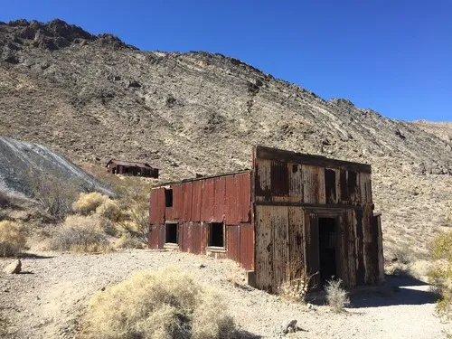
Titus Peak – Death Valley National Park
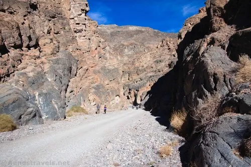
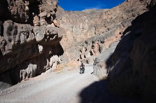
Scramble a wash and a hillside to a viewpoint over Titus Canyon. Total Distance: 2.6 miles out & back Elevation Gain: 952ft. (3,745ft. to 4,522ft.) Difficulty: 0-5 Mile Difficulty: View Rating: Author’s Rating: Visitor Rating: Visitor Difficulty Rating: Pets: No Horses: Yes Best Seasons: November-April Special Permits: None Water Availability: None Overnight Options: None Trailhead […]