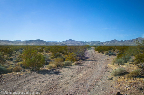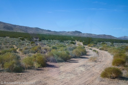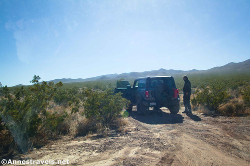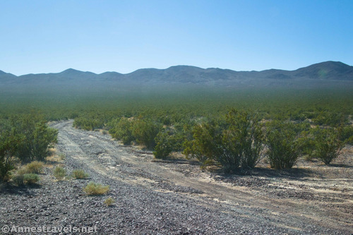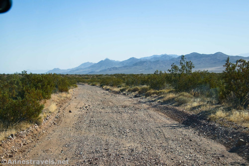
4×4 Road: Deadman Pass Road – Death Valley National Park
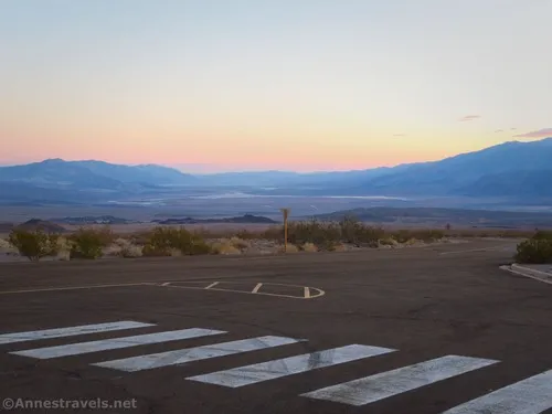
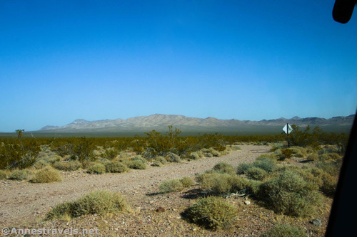
Drive across Deadman Pass in the Greenwater Mountains between Greenwater Valley Road and CA-127. Total Distance: 13.4 miles point to point Elevation Gain: 341ft. up, 1,278ft. down (3,264ft. to 2,065ft.) Road Difficulty: 2.0 (4×4 required) Bicycle Difficulty: More Difficult View Rating: Author’s Rating: Visitor Rating: Visitor Difficulty Rating: Pets: Leashed Horses: Yes Best Seasons: October-May […]