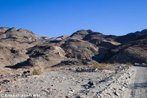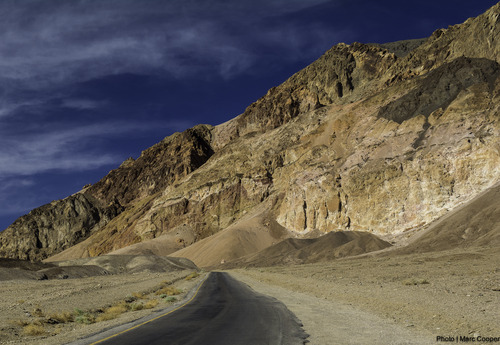
Artists Drive – Death Valley National Park

Take a winding paved road through the foothills of the Black Mountains to the spectacular Artists Palette and Star Wars film site. Total Distance: 9.2 miles point to point (one-way) Elevation Gain: 1,682ft. up, 1,720ft. down (-203ft. to 946ft.) Road Difficulty: 0.8 Bicycle Difficulty: More Difficult View Rating: Rating: Visitor Rating: Visitor Difficulty Rating: Pets: […]
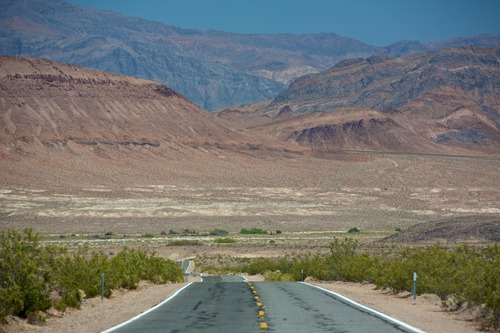
CA-127 & NV-373 – Death Valley National Park

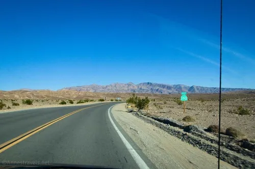
The state highway along the east side of Death Valley National Park, from Baker, CA (I-15) to US-95 north of Amargosa Valley, NV. Total Distance: 107.0 miles point to point Elevation Gain: 3,668ft. up, 1,939ft. down (406ft. to 2,663ft.) Road Difficulty: 0.6 Bicycle Difficulty: Easiest View Rating: Rating: Visitor Rating: Visitor Difficulty Rating: Pets: Leashed […]

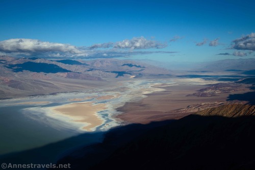
Dantes View Trail – Death Valley National Park

Hike along the ridgeline to great views down on Badwater Flats and across Death Valley to the Panamint Mountains. Total Distance: 1.0 miles out & back Elevation Gain: 512ft. (5,473ft. to 5,166ft.) Difficulty: 0-5 Mile Difficulty: View Rating: Author’s Rating: Visitor Rating: Visitor Difficulty Rating: Pets: No Horses: No Best Seasons: October-May Special Permits: None […]

Dantes View Road – Death Valley National Park

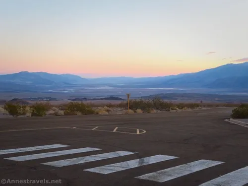
Drive up a paved road to a spectacular viewpoint over Death Valley. Total Distance: 13.2 miles point to point (dead end) Elevation Gain: 3,528ft. up, 48ft. down (1,989ft. to 5,480ft.) Road Difficulty: 0.7 Bicycle Difficulty: Easy View Rating: Rating: Visitor Rating: Visitor Difficulty Rating: Pets: Yes Horses: No Best Seasons: October-May Special Permits: None Water […]

Corkscrew Canyon – Death Valley National Park

Hike up a wash to badlands and the wash below the top of 20 Mule Team Canyon. Total Distance: 3.8 miles out & back (to gate) Elevation Gain: 469ft. (1,199ft. to 1,644ft.) Difficulty: 0-5 Mile Difficulty: View Rating: Author’s Rating: Visitor Rating: Visitor Difficulty Rating: Pets: No Horses: Yes Best Seasons: November-April Special Permits: None […]

Mesquite Sand Dunes – Death Valley National Park

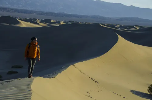
A trailless hike through Death Valley’s most famous sand dunes. Total Distance: 2.2 miles out & back Elevation Gain: 260ft. (-37ft. to 88ft.) Difficulty: 0-5 Mile Difficulty: View Rating: Author’s Rating: Visitor Rating: Visitor Difficulty Rating: Pets: No Horses: No Best Seasons: November to April Special Permits: None Water Availability: None Overnight Options: None Trailhead […]

Echo Canyon Road – Death Valley National Park

Gravel/dirt road that gives access to Eye of the Needle Arch and the Inyo Mine. Total Distance: 10.9 miles point to point Elevation Gain: 3,729ft. up, 27.5ft. down (410ft. to 4,120ft.) Road Difficulty: 1.4 for the first 3 miles; 2.0 beyond Bicycle Difficulty: Very Difficult View Rating: Author’s Rating: Visitor Rating: Visitor Difficulty Rating: Pets: […]
Beatty Cutoff Road – Death Valley National Park

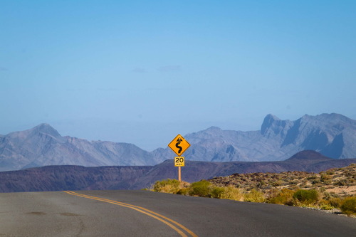
Cutoff road between CA-190 and the Daylight Pass Road. The southern end is at Beatty Junction and the northern end is at Hell’s Gate. Total Distance: 10.0 miles point to point Elevation Gain: 2,502ft. gain, 32ft. loss (-201ft. to 2,269ft.) Road Difficulty: 0.6 Bicycle Difficulty: Easy View Rating: Rating: Visitor Rating: Visitor Difficulty Rating: Pets: […]
Keane Wonder Access Road – Death Valley National Park

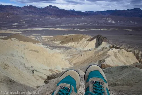
The gravel road used to access the Keane Wonder Trailhead. Total Distance: 2.8 miles point to point (dead end) Elevation Gain: 665ft. up, 230ft. down (676ft. to 1,325ft.) Road Difficulty: 1.2 Bicycle Difficulty: More Difficult View Rating: Rating: Visitor Rating: Visitor Difficulty Rating: Pets: Yes Horses: No Best Seasons: October-May Special Permits: None. Gate closes […]

Latest Trails

2WD Dirt Road Access 4x4 Access 4x4 Dirt Road Backpacking badlands Badwater Road Bicycles Black Mountains CA-190 California canyon colorful rocks Cottonwood Mountains Day Hiking Death Valley National Park Dirt Road Easy Hike Extremely Strenuous Hike Funeral Mountains Geological Interest Ghost Town Grapevine Mountains Harry Wade Road High Clearance Access High Clearance Dirt Road Historic Interest Horses Jeeps Mine Moderate Hike Moderately Strenuous Hike Owlshead Mountains Panamint Mountains Paved Road Access Pets point of interest rock formations Rumored Hike Spring Strenuous Hike Titus Canyon Road Verified Hike Very Strenuous Hike views West Side Road

Categories

Archives