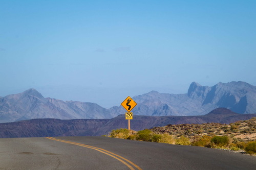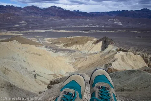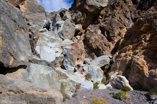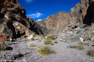
Coffin Peak – Death Valley National Park
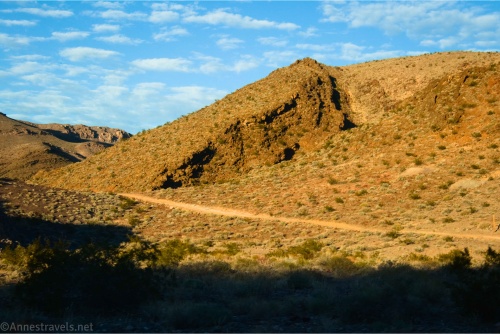
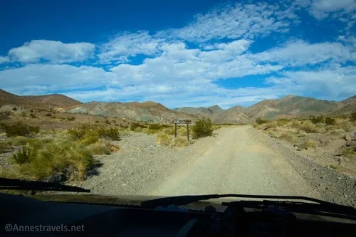
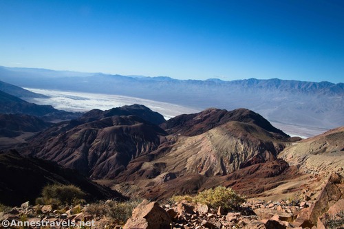
Take a short but trailless hike to a mountain peak with fantastic views of the Black, Greenwater, Panamin, and Funeral Mountains. Total Distance: 2.5 miles out & back Elevation Gain: 919ft. (5,117ft. to 5,507ft.) Difficulty: 0-5 Mile Difficulty: View Rating: Author’s Rating: Visitor Rating: Visitor Difficulty Rating: Pets: No Horses: Yes Best Seasons: October-May Special […]