Titus Canyon Narrows – Death Valley National Park
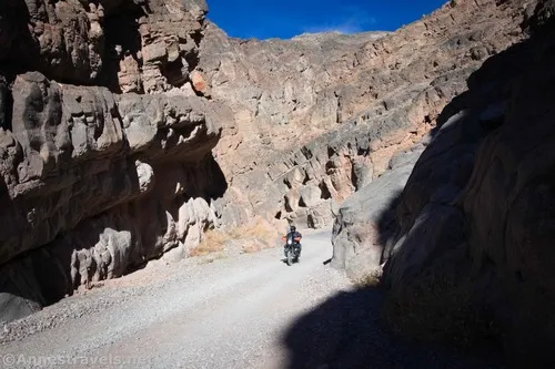
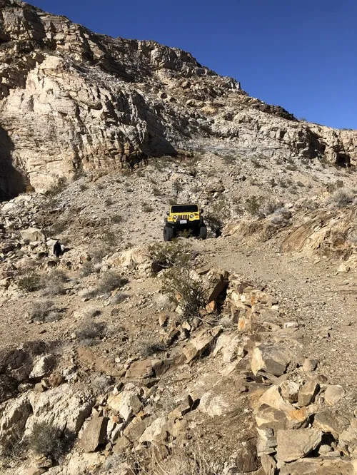
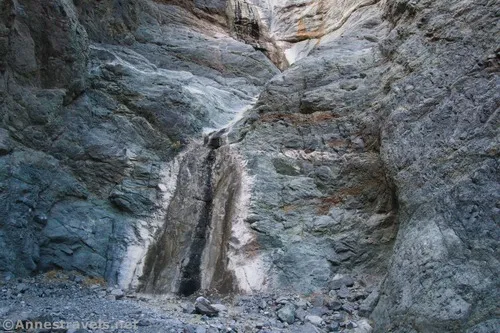
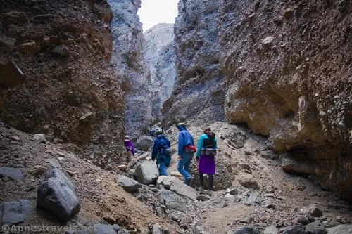
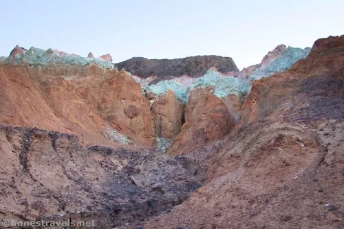
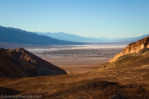
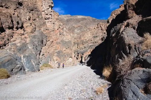
Hike the road through the Titus Canyon Narrows to interesting rock walls, a spring, rock art, and more. Total Distance: Up to 15.6 miles out & back Elevation Gain: Up to 4,419ft. (928ft. to 3,745ft.) Difficulty: to 5+ Mile Difficulty: to View Rating: Author’s Rating: Visitor Rating: Visitor Difficulty Rating: Pets: No Horses: Yes Best […]